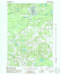
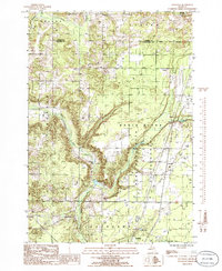
1985 Map of Kalkaska
USGS Topo · Published 1986About this map
Kalkaska serves as the central hub of this northern Michigan landscape, characterized by a complex network of waterways and extensive woodland. The Boardman River and its branches, including the North Branch Boardman River, wind through the terrain, flanked by the protective boundaries of the Pere Marquette State Forest. The map documents a mix of recreational and industrial use, showing numerous small lakes such as Log Lake and South Selkirk Lake alongside active resources like a Gravel Pit and Sand Pit. Small historic settlements and crossroads including Crofton, Lodi, and Kerns Corner are visible, connected by a grid of rural roads. The concentration of wetlands, notably the Kettle Lake Swamp and East Lake Swamp, highlights the glacial hydrology that defines this portion of the county, while a local Cem and various utility infrastructure like a Sub Station provide touchpoints for local historians tracing the area's development.
Find a feature on this map
41 named features on this map. Tap any name to fly to it.
Don’t see what you’re looking for? This feature index may not catch every label — zoom into the map to look around manually.
Map Details
Editions of this 1985 Kalkaska Map
2 editions found
Other maps of this area

1954 · Traverse City
USGS Topo · 1:250,000

1956 · Mancelona
USGS Topo · 1:62,500

1956 · Kalkaska
USGS Topo · 1:62,500

1956 · Fife Lake
USGS Topo · 1:62,500

1957 · Elk Rapids
USGS Topo · 1:62,500

1958 · Traverse City
USGS Topo · 1:250,000

1983 · Traverse City
USGS Topo · 1:100,000
1983 · Torch River
USGS Topo · 1:24,000
1985 · Sharon
USGS Topo · 1:24,000
1985 · Leetsville
USGS Topo · 1:24,000