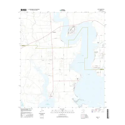
2022 Map of Kamey
USGS Topo · Published 2022About this map
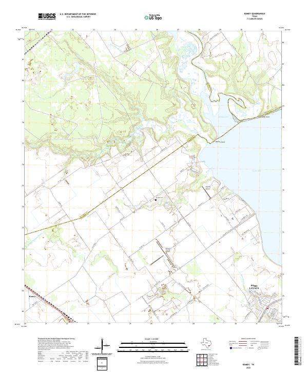
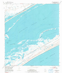
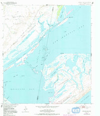
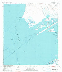
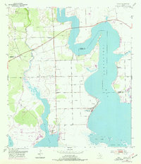
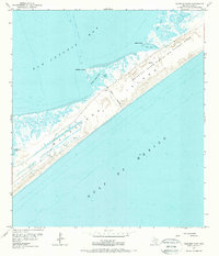
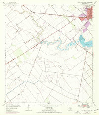
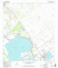
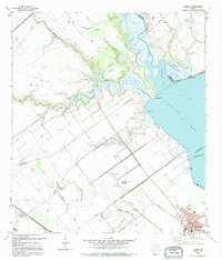
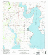
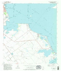
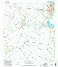
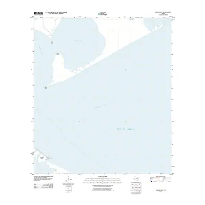
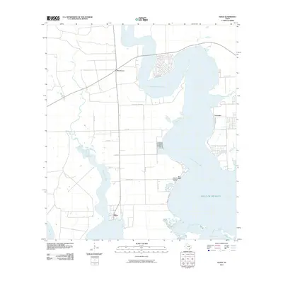
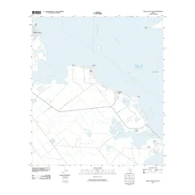
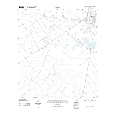
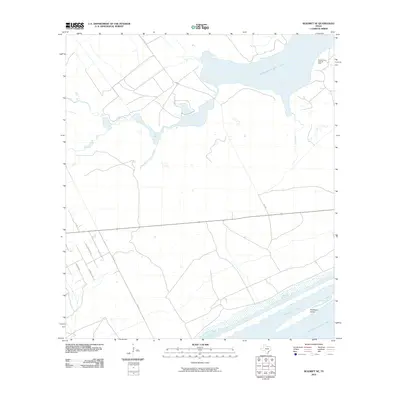
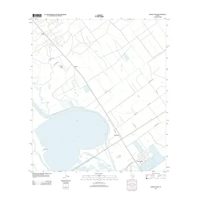
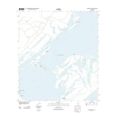
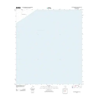
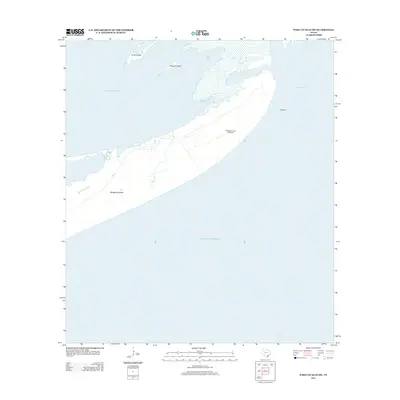
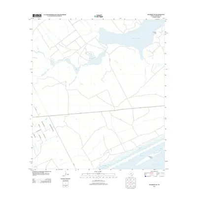
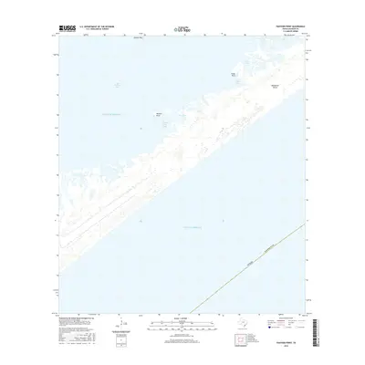
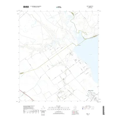
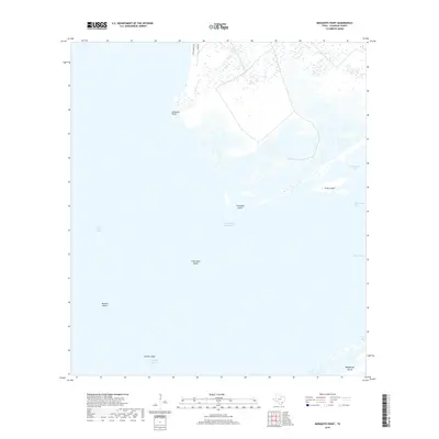
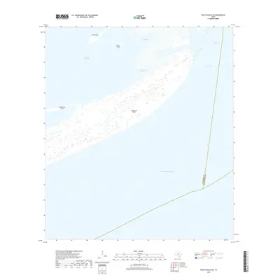
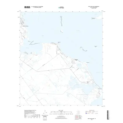
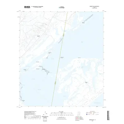
Kamey and the northwestern reaches of Port Lavaca dominate this coastal survey, where the low-lying prairie meets the complex wetlands of Lavaca Bay. The landscape is defined by its hydrology, featuring the winding courses of Placedo Creek, Garcitas Creek, and Kentucky Mutt Cr as they drain toward Garcitas Cove. This intersection of land and water is marked by prominent landmarks such as Keeran Point and Bennett Point, which frame the entrance to the cove.
Find a feature on this map
63 named features on this map. Tap any name to fly to it.
Don’t see what you’re looking for? This feature index may not catch every label — zoom into the map to look around manually.
Map Details
Editions of this 2022 Kamey Map
This is the sole edition of this map. No revisions or reprints were ever made.
Historical Maps of Port Lavaca Through Time
95 maps found
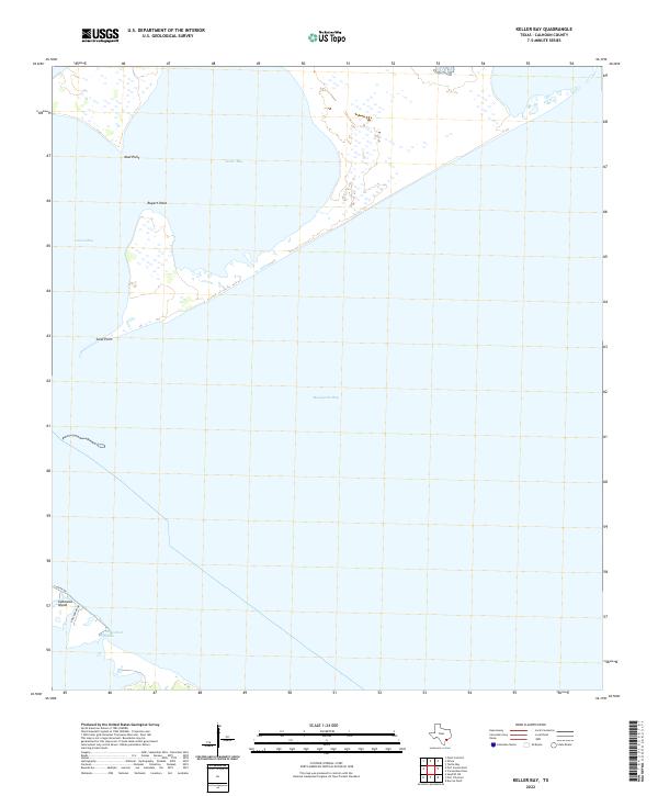
1951 Keller Bay
Calhoun County, TX
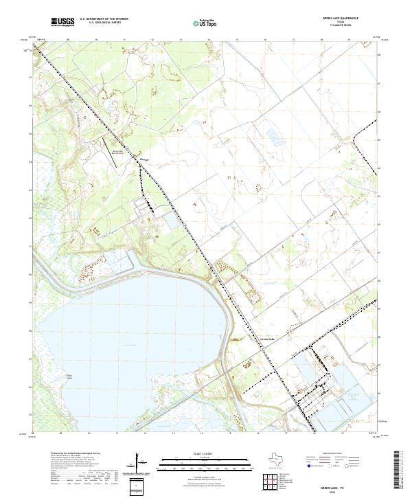
1952 Green Lake
Calhoun County, TX
1952 Kamey
Calhoun County, TX
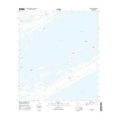
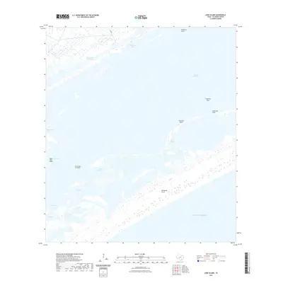
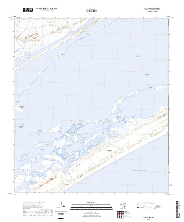
1952 Long Island
Calhoun County, TX
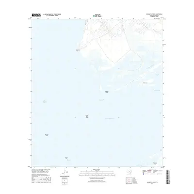
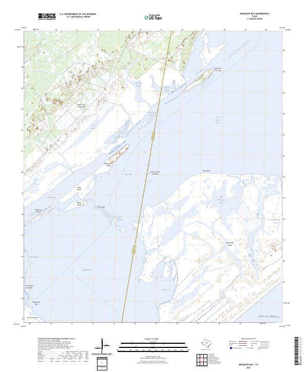
1952 Mesquite Bay
Calhoun County, TX
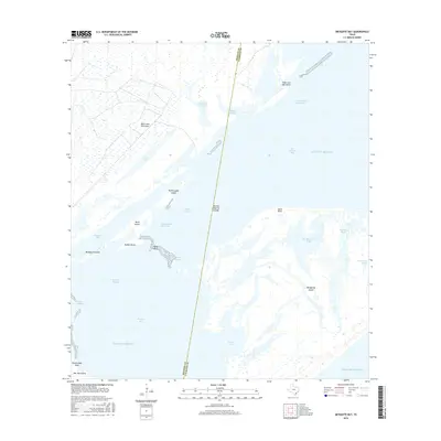
1952 Mosquito Point
Calhoun County, TX
1952 Olivia
Calhoun County, TX
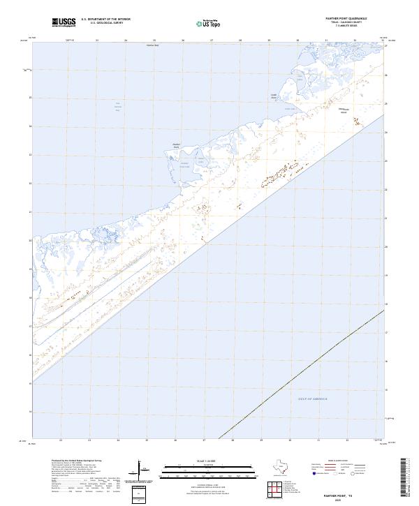
1952 Panther Point
Calhoun County, TX
1952 Panther Point NE
Calhoun County, TX
1952 Pass Cavallo SW
Calhoun County, TX
1952 Port Lavaca East
Calhoun County, TX
1952 Port Lavaca West
Calhoun County, TX
1952 Seadrift NE
Calhoun County, TX
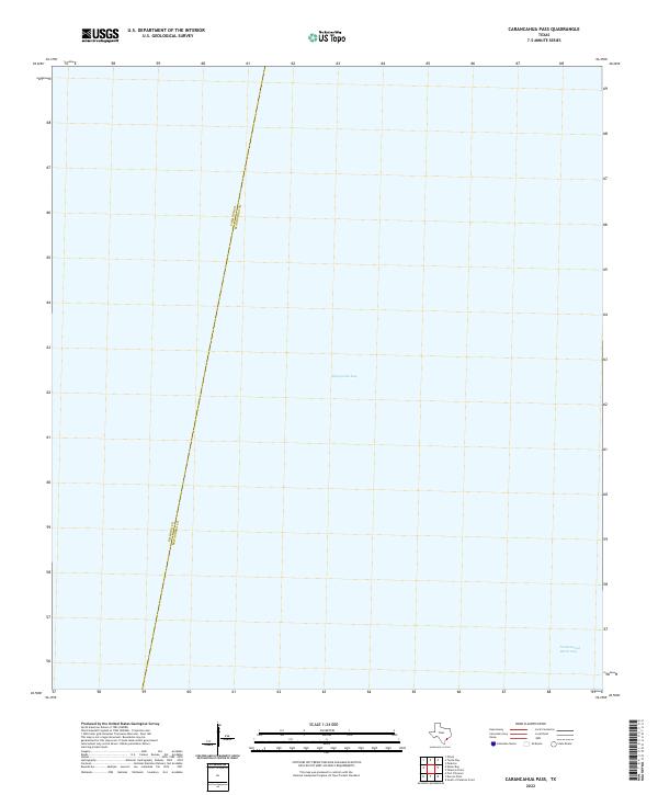
1980 Carancahua Pass
Calhoun County, TX
1983 San Antonio Bay
Calhoun County, TX
1995 Green Lake
Calhoun County, TX
1995 Kamey
Calhoun County, TX
1995 Olivia
Calhoun County, TX
1995 Port Lavaca East
Calhoun County, TX
1995 Port Lavaca West
Calhoun County, TX
2010 Carancahua Pass
Calhoun County, TX
2010 Green Lake
Calhoun County, TX
2010 Kamey
Calhoun County, TX
2010 Keller Bay
Calhoun County, TX
2010 Long Island
Calhoun County, TX
2010 Mesquite Bay
Calhoun County, TX
2010 Mosquito Point
Calhoun County, TX
2010 Olivia
Calhoun County, TX
2010 Panther Point
Calhoun County, TX
2010 Panther Point NE
Calhoun County, TX
2010 Pass Cavallo SW
Calhoun County, TX
2010 Port Lavaca East
Calhoun County, TX
2010 Port Lavaca West
Calhoun County, TX
2010 Seadrift NE
Calhoun County, TX
2013 Carancahua Pass
Calhoun County, TX
2013 Green Lake
Calhoun County, TX
2013 Kamey
Calhoun County, TX
2013 Keller Bay
Calhoun County, TX
2013 Long Island
Calhoun County, TX
2013 Mesquite Bay
Calhoun County, TX
2013 Mosquito Point
Calhoun County, TX
2013 Olivia
Calhoun County, TX
2013 Panther Point
Calhoun County, TX
2013 Panther Point NE
Calhoun County, TX
2013 Pass Cavallo SW
Calhoun County, TX
2013 Port Lavaca East
Calhoun County, TX
2013 Port Lavaca West
Calhoun County, TX
2013 Seadrift NE
Calhoun County, TX
2016 Carancahua Pass
Calhoun County, TX

2016 Green Lake
Calhoun County, TX
2016 Kamey
Calhoun County, TX
2016 Keller Bay
Calhoun County, TX
2016 Long Island
Calhoun County, TX
2016 Mesquite Bay
Calhoun County, TX
2016 Mosquito Point
Calhoun County, TX
2016 Olivia
Calhoun County, TX
2016 Panther Point
Calhoun County, TX
2016 Panther Point NE
Calhoun County, TX
2016 Pass Cavallo SW
Calhoun County, TX
2016 Port Lavaca East
Calhoun County, TX
2016 Port Lavaca West
Calhoun County, TX
2016 Seadrift NE
Calhoun County, TX
2019 Carancahua Pass
Calhoun County, TX
2019 Green Lake
Calhoun County, TX
2019 Kamey
Calhoun County, TX
2019 Keller Bay
Calhoun County, TX
2019 Long Island
Calhoun County, TX
2019 Mesquite Bay
Calhoun County, TX
2019 Mosquito Point
Calhoun County, TX
2019 Olivia
Calhoun County, TX
2019 Panther Point
Calhoun County, TX
2019 Panther Point NE
Calhoun County, TX
2019 Pass Cavallo SW
Calhoun County, TX
2019 Port Lavaca East
Calhoun County, TX
2019 Port Lavaca West
Calhoun County, TX
2019 Seadrift NE
Calhoun County, TX
2022 Carancahua Pass
Calhoun County, TX
2022 Green Lake
Calhoun County, TX
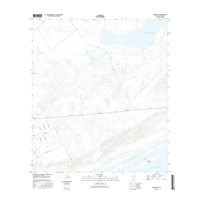
2022 Kamey
Calhoun County, TX
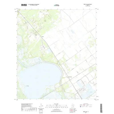
2022 Keller Bay
Calhoun County, TX
2022 Long Island
Calhoun County, TX
2022 Mesquite Bay
Calhoun County, TX
2022 Mosquito Point
Calhoun County, TX
2022 Olivia
Calhoun County, TX
2022 Panther Point
Calhoun County, TX
2022 Panther Point NE
Calhoun County, TX
2022 Pass Cavallo SW
Calhoun County, TX
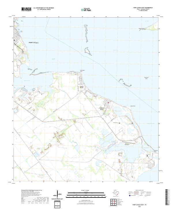
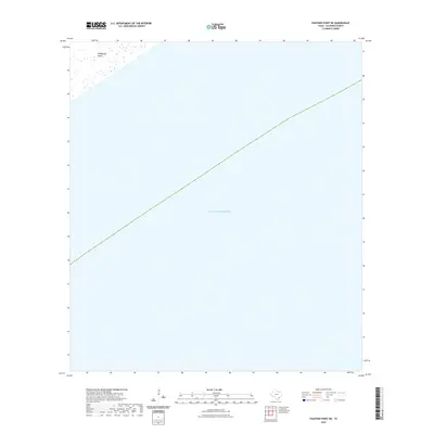
2022 Port Lavaca East
Calhoun County, TX
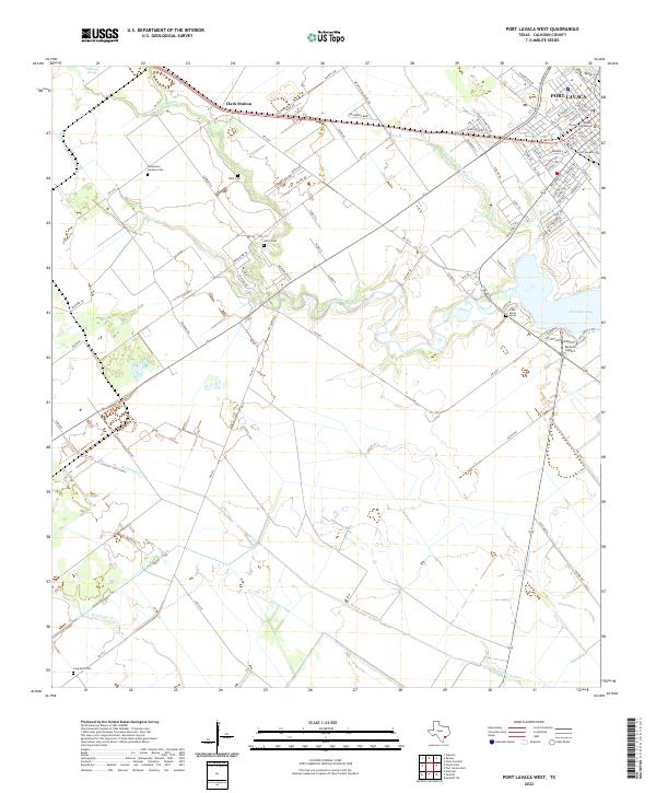
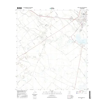
2022 Port Lavaca West
Calhoun County, TX
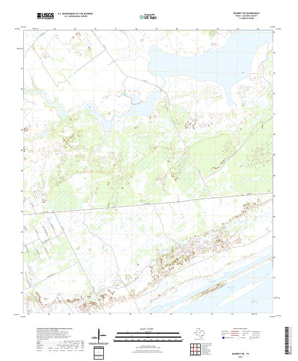
2022 Seadrift NE
Calhoun County, TX
2025 Long Island
Calhoun County, TX
2025 Mesquite Bay
Calhoun County, TX
2025 Panther Point
Calhoun County, TX
2025 Panther Point NE
Calhoun County, TX
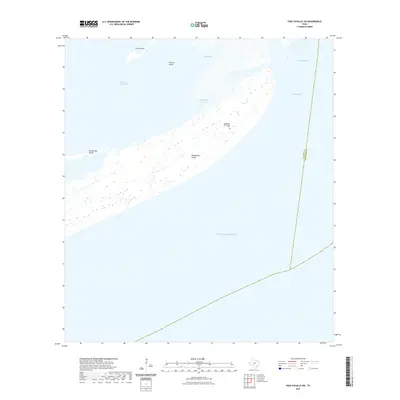
2025 Pass Cavallo SW
Calhoun County, TX