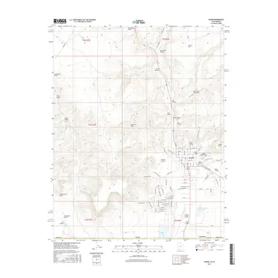
2017 Map of Kanab
USGS Topo · Published 2017About this map
Kanab serves as the focal point of this 2017 survey, situated at the base of the striking Vermilion Cliffs. The town's layout is meticulously detailed, showing the residential grid north of the Kanab Municipal Airport and south of Hog Canyon. For local historians and genealogists, the map identifies key community sites including the Kanab City Cem and the Kanab Pioneer Park Cem, alongside the uniquely named Indian Dance Hall near Toms Canyon.
Find a feature on this map
87 named features on this map. Tap any name to fly to it.
Don’t see what you’re looking for? This feature index may not catch every label — zoom into the map to look around manually.
Map Details
Editions of this 2017 Kanab Map
This is the sole edition of this map. No revisions or reprints were ever made.
Other maps of this area

1886 · Kanab
USGS Topo · 1:250,000

1886 · Kaibab
USGS Topo · 1:250,000

1953 · Cedar City
USGS Topo · 1:250,000

1953 · Grand Canyon
USGS Topo · 1:250,000

1954 · Kanab SW
USGS Topo · 1:24,000

1954 · Fredonia NW
USGS Topo · 1:24,000

1954 · Kanab SE
USGS Topo · 1:24,000

1954 · Shinarump NW
USGS Topo · 1:24,000

1954 · Johnson SW
USGS Topo · 1:24,000

1954 · Fredonia NE
USGS Topo · 1:24,000