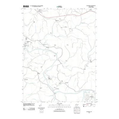
2010 Map of Kanawha
USGS Topo · Published 2010About this map
The Little Kanawha River meanders through Wood County, defining the settlement patterns of towns like Kanawha and Leachtown. This 2010 survey illustrates a landscape dominated by family-named ridges and runs, where the rural character is anchored by a dense network of burial grounds and small communities. Significant genealogy resources are mapped in detail, from the Red Hill United Methodist Church Cemetery in the north to the Leachtown Community Cemetery and Vaught Chapel Cemetery further south. The convergence of the Little Kanawha River and the Hughes River near Greencastle highlights the importance of these waterways, while the presence of Pecks Ford suggests historical crossing points that preceded modern infrastructure. From the northern heights of Dutch Ridge to the bend at Butcher Hill, the map documents a region where local geography is deeply tied to family heritage and small-town institutions.
Find a feature on this map
103 named features on this map. Tap any name to fly to it.
Don’t see what you’re looking for? This feature index may not catch every label — zoom into the map to look around manually.
Map Details
Editions of this 2010 Kanawha Map
This is the sole edition of this map. No revisions or reprints were ever made.
Other maps of this area

1902 · Parkersburg
USGS Topo · 1:62,500

1904 · Parkersburg
USGS Topo · 1:62,500

1904 · Marietta
USGS Topo · 1:62,500

1906 · Elizabeth
USGS Topo · 1:62,500

1906 · Belleville
USGS Topo · 1:62,500

1924 · Belleville
USGS Topo · 1:62,500

1924 · Marietta
USGS Topo · 1:62,500

1924 · Elizabeth
USGS Topo · 1:62,500

1926 · Elizabeth
USGS Topo · 1:62,500

1926 · Belleville
USGS Topo · 1:62,500