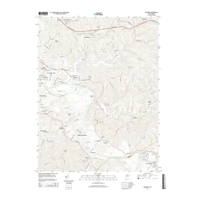
2014 Map of Kanawha
USGS Topo · Published 2014About this map
Little Kanawha River meanders through this portion of Wood County, anchoring a landscape defined by small residential enclaves and historic family burying grounds. The settlement pattern here is distinctively clustered, with communities like Davisville, Kanawha, and Mineralwells serving as focal points for the surrounding rural area. Transport routes such as the Robert Byrd Hwy and the historic Staunton Tpke traverse the terrain, mirroring the older paths of development along the river and its numerous tributaries.
Find a feature on this map
83 named features on this map. Tap any name to fly to it.
Don’t see what you’re looking for? This feature index may not catch every label — zoom into the map to look around manually.
Map Details
Editions of this 2014 Kanawha Map
This is the sole edition of this map. No revisions or reprints were ever made.
Other maps of this area
1902 · Parkersburg
USGS Topo · 1:62,500
1904 · Parkersburg
USGS Topo · 1:62,500

1904 · Marietta
USGS Topo · 1:62,500

1906 · Elizabeth
USGS Topo · 1:62,500

1906 · Belleville
USGS Topo · 1:62,500
1924 · Belleville
USGS Topo · 1:62,500
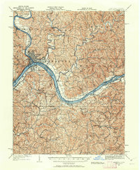
1924 · Marietta
USGS Topo · 1:62,500
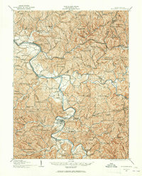
1924 · Elizabeth
USGS Topo · 1:62,500
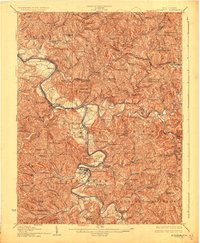
1926 · Elizabeth
USGS Topo · 1:62,500
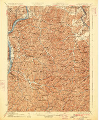
1926 · Belleville
USGS Topo · 1:62,500