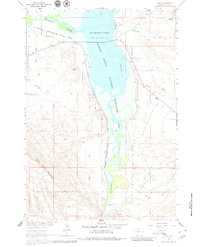
1964 Map of Kane
USGS Topo · Published 1980About this map
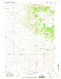
Bighorn Lake dominates this 1964 survey, capturing a pivotal moment in the landscape of the Bighorn Canyon National Recreation Area during its development within the Missouri River Basin project. The map depicts the reservoir at a normal pool elevation of 3640 feet, showing the transformative effect of water on the arid landscape. The settlement of Kane is situated along the western shore, adjacent to the Chicago Burlington and Quincy railroad line which hugs the canyon floor.
Find a feature on this map
27 named features on this map. Tap any name to fly to it.
Don’t see what you’re looking for? This feature index may not catch every label — zoom into the map to look around manually.
Map Details
Editions of this 1964 Kane Map
3 editions found
Other maps of this area

1955 · Cody
USGS Topo · 1:250,000

1958 · Cody
USGS Topo · 1:250,000

1962 · Cody
USGS Topo · 1:250,000

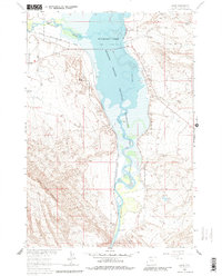
1964 · Kane
USGS Topo · 1:24,000
1964 · Simmons Canyon
USGS Topo · 1:24,000

1964 · Lovell Lakes
USGS Topo · 1:24,000

1964 · Sykes Spring
USGS Topo · 1:24,000
1964 · Natural Trap Cave
USGS Topo · 1:24,000
1966 · Cottonwood Canyon
USGS Topo · 1:24,000

1966 · North Emblem Reservoir
USGS Topo · 1:24,000