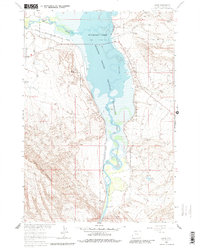
1964 Map of Kane
USGS Topo · Published 1980About this map
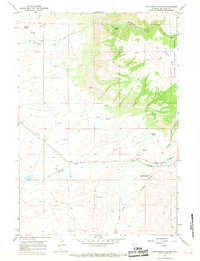
Bighorn River waters dominate this landscape as they meet the Shoshone River to form Bighorn Lake. This 1960s survey records a moment of significant hydrological transition, showing areas of controlled inundation within the Bighorn Canyon National Recreation Area. The settlement of Kane sits near the rail line of the Chicago Burlington and Quincy railroad, a corridor that also features local industry such as a Gravel Pit and Claypit. To the west, the massive bulk of Sheep Mountain rises sharply, while the landmark peak of Katy's Nipple overlooks the canyon. The map details an extensive irrigation network including the Lovell Canal and Sunlight Canal, essential for supporting the Missouri River Basin development projects. Natural springs like Roundup Spring and Harmon Springs dot the eastern plateaus, highlighting the vital water sources in this arid environment.
Find a feature on this map
21 named features on this map. Tap any name to fly to it.
Don’t see what you’re looking for? This feature index may not catch every label — zoom into the map to look around manually.
Map Details
Editions of this 1964 Kane Map
3 editions found
Other maps of this area

1955 · Cody
USGS Topo · 1:250,000

1958 · Cody
USGS Topo · 1:250,000

1962 · Cody
USGS Topo · 1:250,000

1964 · Kane
USGS Topo · 1:24,000
1964 · Simmons Canyon
USGS Topo · 1:24,000

1964 · Lovell Lakes
USGS Topo · 1:24,000

1964 · Sykes Spring
USGS Topo · 1:24,000
1964 · Natural Trap Cave
USGS Topo · 1:24,000
1966 · Cottonwood Canyon
USGS Topo · 1:24,000

1966 · North Emblem Reservoir
USGS Topo · 1:24,000