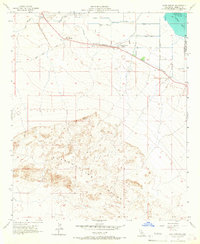
1956 Map of Kane Spring
USGS Topo · Published 1967About this map
The arid expanse of the Superstition Hills dominates this mid-century survey of Imperial County, California. In the mid-1950s, this landscape was defined by the intersection of desert wilderness and the burgeoning agricultural infrastructure of the Salton Basin. To the north, the complex irrigation network is evident through numerous channels such as Lateral 16, Drain 22, and a prominent Siphon. These man-made watercourses contrast sharply with the natural drainage of San Felipe Creek and Trifolium Wash.
Find a feature on this map
20 named features on this map. Tap any name to fly to it.
Don’t see what you’re looking for? This feature index may not catch every label — zoom into the map to look around manually.
Map Details
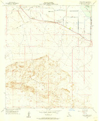
Editions of this 1956 Kane Spring Map
2 editions found
Other maps of this area

1915 · El Centro
USGS Topo · 1:125,000

1940 · Brawley
USGS Topo · 1:62,500

1940 · Kane Spring
USGS Topo · 1:62,500

1940 · Plaster City
USGS Topo · 1:62,500

1942 · El Centro
USGS Topo · 1:250,000

1943 · Brawley
USGS Topo · 1:62,500

1944 · Plaster City
USGS Topo · 1:62,500

1944 · Kane Spring
USGS Topo · 1:62,500

1944 · Calipatria
USGS Topo · 1:62,500

1954 · El Centro
USGS Topo · 1:250,000