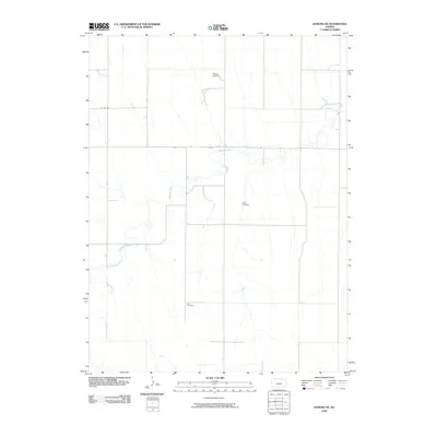
2009 Map of Kanona NE
USGS Topo · Published 2009About this map
Sappa Creek winds through this rural section of Decatur County, following the natural contours of the northwestern Kansas landscape. The land use here is defined by a sparse network of county roads, such as Co RD 308, and the extraction of natural resources at the Warner Oil Field in the north. This area retains its quiet, agrarian character, punctuated by two small burial sites that serve as important markers for local genealogy. Both the White Cemetery and Ault Cemetery are situated away from any significant town centers, reflecting the widely dispersed settlement patterns typical of the High Plains. The drainage patterns of the creek and its ephemeral tributaries dominate the topography, illustrating the essential relationship between water and land in this prairie environment.
Find a feature on this map
5 named features on this map. Tap any name to fly to it.
Don’t see what you’re looking for? This feature index may not catch every label — zoom into the map to look around manually.
Map Details
Editions of this 2009 Kanona NE Map
This is the sole edition of this map. No revisions or reprints were ever made.
Other maps of this area

1951 · Norcatur
USGS Topo · 1:62,500

1951 · Kanona
USGS Topo · 1:62,500

1954 · McCook
USGS Topo · 1:250,000

1954 · Goodland
USGS Topo · 1:250,000

1956 · Goodland
USGS Topo · 1:250,000

1957 · McCook
USGS Topo · 1:250,000

1957 · Goodland
USGS Topo · 1:250,000

1957 · Shippee
USGS Topo · 1:24,000

1957 · Danbury
USGS Topo · 1:24,000

1957 · Lebanon
USGS Topo · 1:24,000