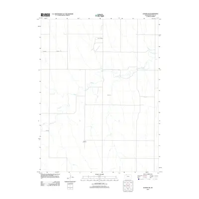
2012 Map of Kanona NE
USGS Topo · Published 2012About this map
Sappa Cr meanders across this rural landscape in Decatur County, defining the drainage patterns of an area dominated by agricultural sections and early 21st-century energy extraction. The local geography is marked by essential community landmarks for genealogists and family historians, including the Edwards Maple Cem and White Cem. These small burial grounds are reached by a network of county roads such as Co Rd 491 and Co Rd 308 that follow the grid of the High Plains. Industrial activity is concentrated at the Warner Oil Field in the north-central portion of the map, illustrating the continued reliance on the region's natural resources. The terrain is relatively open, with the creek bed providing the primary topographic variation in an otherwise uniform landscape of surveyed sections.
Find a feature on this map
7 named features on this map. Tap any name to fly to it.
Don’t see what you’re looking for? This feature index may not catch every label — zoom into the map to look around manually.
Map Details
Editions of this 2012 Kanona NE Map
This is the sole edition of this map. No revisions or reprints were ever made.
Other maps of this area

1951 · Norcatur
USGS Topo · 1:62,500

1951 · Kanona
USGS Topo · 1:62,500

1954 · McCook
USGS Topo · 1:250,000

1954 · Goodland
USGS Topo · 1:250,000

1956 · Goodland
USGS Topo · 1:250,000

1957 · McCook
USGS Topo · 1:250,000

1957 · Goodland
USGS Topo · 1:250,000

1957 · Shippee
USGS Topo · 1:24,000

1957 · Danbury
USGS Topo · 1:24,000

1957 · Lebanon
USGS Topo · 1:24,000