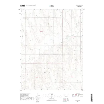
2018 Map of Kanona NE
USGS Topo · Published 2018About this map
Sappa Cr winds through this section of the High Plains, carving a distinct drainage pattern across the landscape of Decatur County. The terrain is defined by the sharp contrasts between the level upland plains and the dissected slopes leading down to the creek bed. Local genealogy and history are anchored by two small burial sites, Edwards Maple Cem in the south and White Cem situated near the center of the survey. A rigid grid of rural corridors, including Co Rd 308 and Rd 14 E, provides access to the agricultural tracts. The map illustrates the persistence of the Public Land Survey System, showing township and range boundaries such as t1s r27w and t2s r26w that have governed land ownership in this region since the nineteenth century.
Find a feature on this map
11 named features on this map. Tap any name to fly to it.
Don’t see what you’re looking for? This feature index may not catch every label — zoom into the map to look around manually.
Map Details
Editions of this 2018 Kanona NE Map
This is the sole edition of this map. No revisions or reprints were ever made.
Other maps of this area

1951 · Norcatur
USGS Topo · 1:62,500

1951 · Kanona
USGS Topo · 1:62,500

1954 · McCook
USGS Topo · 1:250,000

1954 · Goodland
USGS Topo · 1:250,000

1956 · Goodland
USGS Topo · 1:250,000

1957 · McCook
USGS Topo · 1:250,000

1957 · Goodland
USGS Topo · 1:250,000

1957 · Shippee
USGS Topo · 1:24,000

1957 · Danbury
USGS Topo · 1:24,000

1957 · Lebanon
USGS Topo · 1:24,000