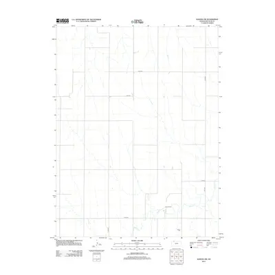
2012 Map of Kanona NW
USGS Topo · Published 2012About this map
Vallonia Cem serves as a primary historical waypoint in this rural section of Decatur County. The landscape is defined by the winding course of Sappa Cr, which cuts through the southern reaches of the quadrangle. Unlike more densely populated regions, this area maintains a focus on land use and natural resources, evidenced by the presence of the Olive Oil Field located just north of the creek bed.
Find a feature on this map
7 named features on this map. Tap any name to fly to it.
Don’t see what you’re looking for? This feature index may not catch every label — zoom into the map to look around manually.
Map Details
Editions of this 2012 Kanona NW Map
This is the sole edition of this map. No revisions or reprints were ever made.
Other maps of this area

1951 · Oberlin
USGS Topo · 1:62,500

1951 · Kanona
USGS Topo · 1:62,500

1954 · McCook
USGS Topo · 1:250,000

1954 · Goodland
USGS Topo · 1:250,000

1956 · Goodland
USGS Topo · 1:250,000

1957 · McCook
USGS Topo · 1:250,000

1957 · Goodland
USGS Topo · 1:250,000

1957 · Danbury
USGS Topo · 1:24,000

1957 · Lebanon
USGS Topo · 1:24,000

1957 · McCook SE
USGS Topo · 1:24,000