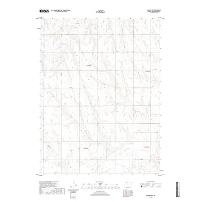
2018 Map of Kanona NW
USGS Topo · Published 2018About this map
Sappa Cr meanders through the southern portion of this Decatur County landscape, carving a low-lying path through the high plains of western Kansas. The drainage patterns of Rock Draw and surrounding intermittent streams define the terrain, illustrating the gradual erosion of the upland plateau. Human presence is marked primarily by the grid-like progression of county roads, including Co Rd 491 and Co Rd 316, which follow section lines established by the Public Land Survey System. For genealogists and local historians, the Vallonia Cem stands as a significant landmark in the southeastern corner, serving as a primary point of reference for the families who settled this agricultural region. The map reflects a modern era of land management where the division between townships like t1s r28w and t2s r28w continues to dictate the rural landscape's organization.
Find a feature on this map
11 named features on this map. Tap any name to fly to it.
Don’t see what you’re looking for? This feature index may not catch every label — zoom into the map to look around manually.
Map Details
Editions of this 2018 Kanona NW Map
This is the sole edition of this map. No revisions or reprints were ever made.
Other maps of this area

1951 · Oberlin
USGS Topo · 1:62,500

1951 · Kanona
USGS Topo · 1:62,500

1954 · McCook
USGS Topo · 1:250,000

1954 · Goodland
USGS Topo · 1:250,000

1956 · Goodland
USGS Topo · 1:250,000

1957 · McCook
USGS Topo · 1:250,000

1957 · Goodland
USGS Topo · 1:250,000

1957 · Danbury
USGS Topo · 1:24,000

1957 · Lebanon
USGS Topo · 1:24,000

1957 · McCook SE
USGS Topo · 1:24,000