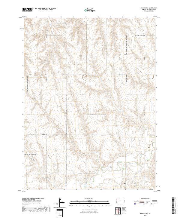
2022 Map of Kanona NW
USGS Topo · Published 2022About this map
Vallonia Cem stands as a quiet focal point in the southeast corner of this Decatur County landscape, serving as a primary marker of local history. The terrain is defined by the winding course of Sappa Cr, which carves through the central and southern sections, and the prominent drainage of Rock Draw to the west. This area reflects a traditional Great Plains section-line grid, where travel is dictated by roads such as Co Rd 491 and 1400th Rd. The map illustrates a contemporary view of rural Kansas, where the intersection of watercourses like Sappa Cr and maintained routes like Co Rd 308 shape the local agricultural and topographic character. It is an essential document for tracing family history at the cemetery or understanding the modern drainage patterns of the high plains.
Find a feature on this map
13 named features on this map. Tap any name to fly to it.
Don’t see what you’re looking for? This feature index may not catch every label — zoom into the map to look around manually.
Map Details
Editions of this 2022 Kanona NW Map
This is the sole edition of this map. No revisions or reprints were ever made.
Other maps of this area

1951 · Oberlin
USGS Topo · 1:62,500

1951 · Kanona
USGS Topo · 1:62,500

1954 · McCook
USGS Topo · 1:250,000

1954 · Goodland
USGS Topo · 1:250,000

1956 · Goodland
USGS Topo · 1:250,000

1957 · McCook
USGS Topo · 1:250,000

1957 · Goodland
USGS Topo · 1:250,000

1957 · Danbury
USGS Topo · 1:24,000

1957 · Lebanon
USGS Topo · 1:24,000

1957 · McCook SE
USGS Topo · 1:24,000