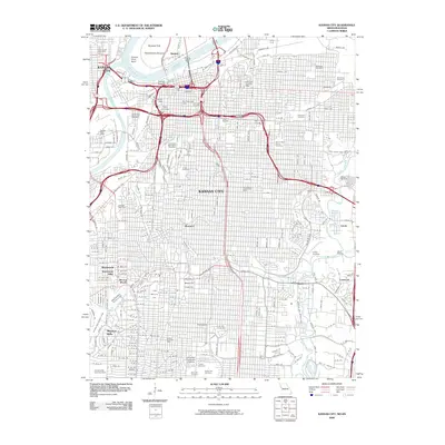
2009 Map of Kansas City
USGS Topo · Published 2009About this map
Kansas City sits at the confluence of the Missouri River and the Kansas River, showing a dense urban landscape defined by its historic districts and infrastructure in the early 21st century. The map highlights the transition from industrial riverfronts like French Bottom and Harlem to the residential character of Quality Hill and the academic grounds of the University of Missouri at Kansas City. Significant burial grounds, including the historic Union Cemetery and Forest Hill Cemetery, provide valuable anchor points for genealogical research within the city's grid.
Find a feature on this map
276 named features on this map. Tap any name to fly to it.
Don’t see what you’re looking for? This feature index may not catch every label — zoom into the map to look around manually.
Map Details
Editions of this 2009 Kansas City Map
This is the sole edition of this map. No revisions or reprints were ever made.
Other maps of this area

1887 · Harrisonville
USGS Topo · 1:125,000

1887 · Olathe
USGS Topo · 1:125,000

1890 · Kansas City
USGS Topo · 1:125,000

1892 · Harrisonville
USGS Topo · 1:125,000

1893 · Olathe
USGS Topo · 1:125,000

1894 · Kansas City
USGS Topo · 1:125,000

1894 · Harrisonville
USGS Topo · 1:125,000

1894 · Independence
USGS Topo · 1:125,000

1934 · Independence
USGS Topo · 1:24,000

1934 · Grandview
USGS Topo · 1:24,000