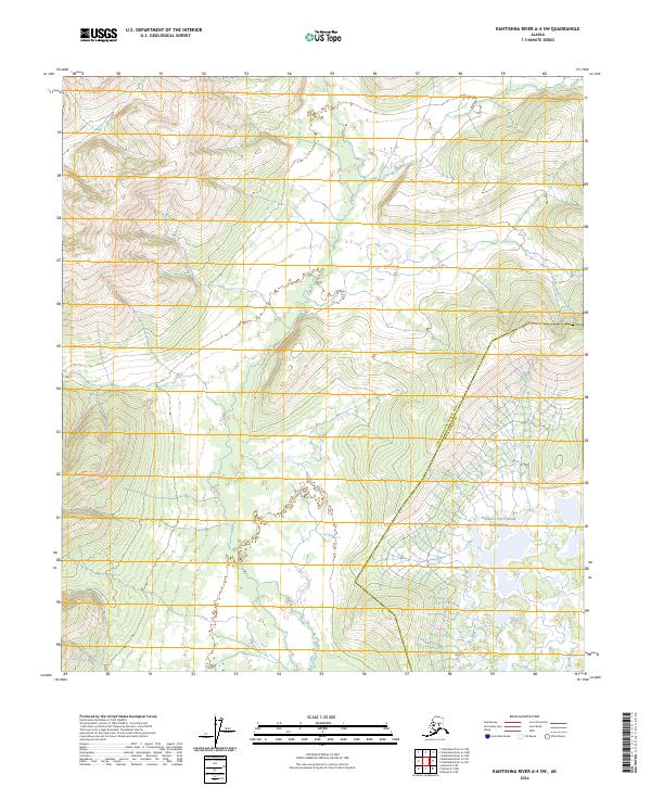
2024 Map of Kantishna River A-4 SW
USGS Topo · Published 2024About this map
The Denal National Preserve dominates the eastern landscape of this interior Alaska region, marking a significant transition between protected federal lands and the surrounding Yukon-Koyukuk Census Area Denali Borough. The terrain is characterized by the winding path of the Muddy River in the southeast corner, which serves as a primary hydrological feature for this remote stretch of wilderness. Surveyed sections under the Public Land Survey System, including t9s r22w and t10s r22w, provide a foundational grid for understanding land management and historical boundary lines in a region defined by its lack of established roads or permanent settlements.
Find a feature on this map
9 named features on this map. Tap any name to fly to it.
Don’t see what you’re looking for? This feature index may not catch every label — zoom into the map to look around manually.
Map Details
Editions of this 2024 Kantishna River A-4 SW Map
This is the sole edition of this map. No revisions or reprints were ever made.
Other maps of this area

1948 · Kantishna River
USGS Topo · 1:250,000

1951 · Kantishna River
USGS Topo · 1:250,000

1952 · Mount McKinley
USGS Topo · 1:250,000

1952 · Kantishna River
USGS Topo · 1:250,000

1952 · Kantishna River A-5
USGS Topo · 1:63,360

1953 · Kantishna River A-4
USGS Topo · 1:63,360

1953 · Mount McKinley D-5
USGS Topo · 1:63,360

1953 · Mount McKinley D-4
USGS Topo · 1:63,360

1954 · Mount McKinley D-4
USGS Topo · 1:63,360

1954 · Mount McKinley D-5
USGS Topo · 1:63,360