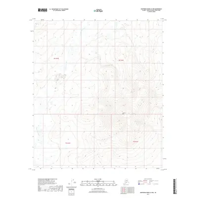
2017 Map of Kantishna River A-5 NW
USGS Topo · Published 2017About this map
The N Fork Kuskokwim River defines the western reaches of this interior Alaskan landscape, meandering through a series of wide, low-lying bends before moving into the township of t9s r25w. The terrain is dominated by the prominent rise of Haystack Mtn, which serves as a central landmark for the surrounding wilderness. This 2017 survey by the U.S. Geological Survey captures the elevation and hydrology of a roadless region characterized by complex drainage patterns. Geographers and surveyors can trace the topographic contours of the Kuskokwim headwaters as they pass between the administrative boundaries of t8s r24w and its neighboring townships.
Find a feature on this map
6 named features on this map. Tap any name to fly to it.
Don’t see what you’re looking for? This feature index may not catch every label — zoom into the map to look around manually.
Map Details
Editions of this 2017 Kantishna River A-5 NW Map
This is the sole edition of this map. No revisions or reprints were ever made.
Other maps of this area

1948 · Kantishna River
USGS Topo · 1:250,000

1951 · Kantishna River
USGS Topo · 1:250,000

1952 · Kantishna River
USGS Topo · 1:250,000

1952 · Kantishna River B-6
USGS Topo · 1:63,360

1952 · Kantishna River A-5
USGS Topo · 1:63,360

1952 · Kantishna River A-6
USGS Topo · 1:63,360

1952 · Kantishna River B-5
USGS Topo · 1:63,360
1953 · Kantishna River A-6
USGS Topo · 1:63,360

1964 · Kantishna River
USGS Topo · 1:250,000
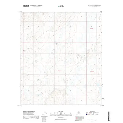
2017 · Kantishna River A-6 SE
USGS Topo · 1:25,000