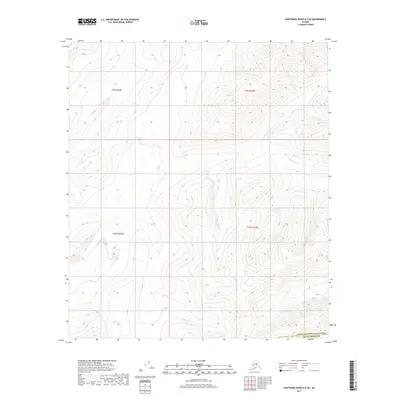
2017 Map of Kantishna River A-5 SE
USGS Topo · Published 2017About this map
The boundary between the Yukon-Koyukuk Census Area and the Denali Borough runs across the southern edge of this interior Alaska wilderness. This 2017 survey shows a terrain defined by high-elevation contours and complex hydrography, lacking any permanent named settlements, roads, or structures. The map is organized around the Public Land Survey System sections of townships t9s r24w, t9s r23w, t10s r24w, and t10s r23w. The landscape reflects the raw geography of the Tanana Valley region, where the primary human footprint is found in the administrative divisions and the meticulous recording of elevation and seasonal wetlands.
Find a feature on this map
5 named features on this map. Tap any name to fly to it.
Don’t see what you’re looking for? This feature index may not catch every label — zoom into the map to look around manually.
Map Details
Editions of this 2017 Kantishna River A-5 SE Map
This is the sole edition of this map. No revisions or reprints were ever made.
Other maps of this area

1948 · Kantishna River
USGS Topo · 1:250,000

1951 · Kantishna River
USGS Topo · 1:250,000

1952 · Mount McKinley
USGS Topo · 1:250,000

1952 · Kantishna River
USGS Topo · 1:250,000

1952 · Kantishna River A-5
USGS Topo · 1:63,360

1953 · Kantishna River A-4
USGS Topo · 1:63,360

1953 · Mount McKinley D-5
USGS Topo · 1:63,360

1953 · Mount McKinley D-4
USGS Topo · 1:63,360

1954 · Mount McKinley D-4
USGS Topo · 1:63,360

1954 · Mount McKinley D-5
USGS Topo · 1:63,360