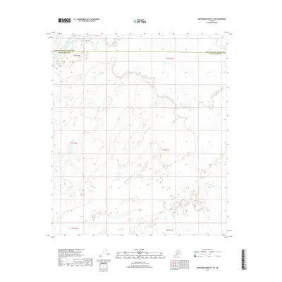
2017 Map of Kantishna River B-1 SW
USGS Topo · Published 2017About this map
The Kantishna River and Toklat River converge in the northwestern corner of this interior Alaska quadrangle, carving through a landscape defined by braided waterways and vast wetlands. This 2017 survey documents the administrative boundary between the Yukon-Koyukuk Census Area and the Denali Borough, a line that cuts across the northern third of the sheet. The terrain is dominated by the meandering path of Clear Cr, which winds from the southeast toward the larger glacial rivers. Sparse and largely uninhabited, the area is charted primarily through the Public Land Survey System, with township and range lines like t7s r14w and t6s r15w providing the only structural grid over the complex network of sloughs and alluvial deposits.
Find a feature on this map
10 named features on this map. Tap any name to fly to it.
Don’t see what you’re looking for? This feature index may not catch every label — zoom into the map to look around manually.
Map Details
Editions of this 2017 Kantishna River B-1 SW Map
This is the sole edition of this map. No revisions or reprints were ever made.
Other maps of this area

1948 · Kantishna River
USGS Topo · 1:250,000

1951 · Kantishna River
USGS Topo · 1:250,000

1952 · Kantishna River A-1
USGS Topo · 1:63,360

1952 · Kantishna River
USGS Topo · 1:250,000

1952 · Kantishna River A-2
USGS Topo · 1:63,360

1952 · Kantishna River B-1
USGS Topo · 1:63,360

1953 · Kantishna River B-2
USGS Topo · 1:63,360
1953 · Kantishna River A-1
USGS Topo · 1:63,360

1964 · Kantishna River
USGS Topo · 1:250,000
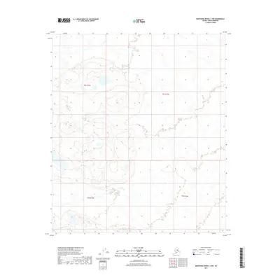
2017 · Kantishna River A-1 NW
USGS Topo · 1:25,000