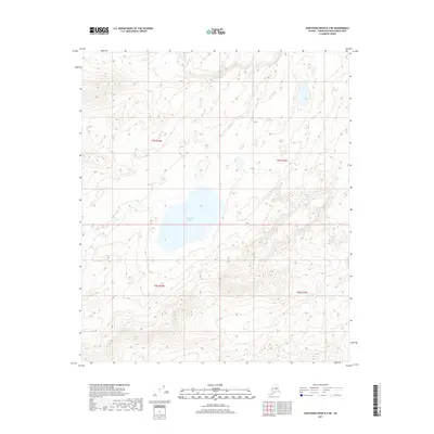
2017 Map of Kantishna River B-2 NE
USGS Topo · Published 2017About this map
East Twin Lake serves as a central landmark in this portion of the Kantishna River B-2 NE quadrangle. This interior Alaskan landscape is defined by its drainage patterns, primarily the seasonal flows of Dry Cr which traverses several sections within the townships of t5s r16w and t6s r16w. The topography reveals a complex network of wetlands and subtle elevation shifts typical of the region's river basins. Mapping by the U.S. Geological Survey details the township and range boundaries that organize this otherwise unpopulated terrain, providing a clear view of the land division within the Unorganized Borough during the early twenty-first century.
Find a feature on this map
6 named features on this map. Tap any name to fly to it.
Don’t see what you’re looking for? This feature index may not catch every label — zoom into the map to look around manually.
Map Details
Editions of this 2017 Kantishna River B-2 NE Map
This is the sole edition of this map. No revisions or reprints were ever made.
Other maps of this area

1948 · Kantishna River
USGS Topo · 1:250,000

1951 · Kantishna River
USGS Topo · 1:250,000

1952 · Kantishna River C-1
USGS Topo · 1:63,360

1952 · Kantishna River
USGS Topo · 1:250,000

1952 · Kantishna River B-1
USGS Topo · 1:63,360

1953 · Kantishna River B-2
USGS Topo · 1:63,360
1953 · Kantishna River C-2
USGS Topo · 1:63,360
1954 · Kantishna River C-2
USGS Topo · 1:63,360

1964 · Kantishna River
USGS Topo · 1:250,000
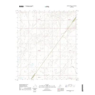
2017 · Kantishna River B-2 SW
USGS Topo · 1:25,000