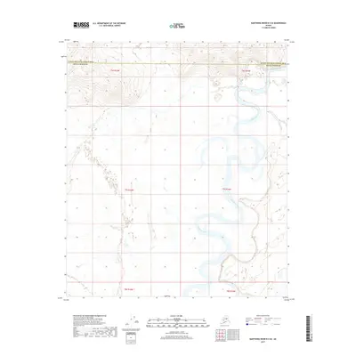
2017 Map of Kantishna River B-2 SE
USGS Topo · Published 2017About this map
The Kantishna River carves a complex, meandering path across this interior Alaskan landscape, creating a dense network of oxbow loops and wetlands. These intricate river dynamics dominate the eastern portion of the quadrangle, while Lynx Cr feeds into the low-lying basin from the south. The terrain is defined by the boundary between the Denali Borough and the Yukon-Koyukuk Census Area, a line that cuts across high ground in the north. This 2017 survey illustrates the vast, uninhabited character of the region, where the shifting river channels are the primary geographical features. The map serves as a detailed record of the hydrography in a wilderness area defined more by its watercourses and township divisions like t7s r15w than by human settlement.
Find a feature on this map
9 named features on this map. Tap any name to fly to it.
Don’t see what you’re looking for? This feature index may not catch every label — zoom into the map to look around manually.
Map Details
Editions of this 2017 Kantishna River B-2 SE Map
This is the sole edition of this map. No revisions or reprints were ever made.
Other maps of this area

1948 · Kantishna River
USGS Topo · 1:250,000

1951 · Kantishna River
USGS Topo · 1:250,000

1952 · Kantishna River A-1
USGS Topo · 1:63,360

1952 · Kantishna River
USGS Topo · 1:250,000

1952 · Kantishna River A-2
USGS Topo · 1:63,360

1952 · Kantishna River B-1
USGS Topo · 1:63,360

1953 · Kantishna River B-2
USGS Topo · 1:63,360
1953 · Kantishna River A-1
USGS Topo · 1:63,360

1964 · Kantishna River
USGS Topo · 1:250,000
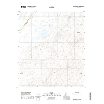
2017 · Kantishna River A-2 NW
USGS Topo · 1:25,000