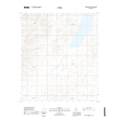
2017 Map of Kantishna River B-3 SW
USGS Topo · Published 2017About this map
Wien Lake dominates the upper-right corner of this interior Alaska quadrangle, situated within the remote expanse of the Unorganized Borough. This 2017 survey illustrates a landscape of significant relief, where high ridges and deep drainage systems define the geography of the Kantishna River region. The waters of John Hansen Cr flow through the lower elevations, tracing a path through the southern townships of t8s r19w and t7s r19w. With no road infrastructure or established settlements indicated, the map captures the wilderness character of the Yukon-Koyukuk Census Area, focusing on the natural hydrography and public land survey boundaries that organize this unsettled terrain.
Find a feature on this map
8 named features on this map. Tap any name to fly to it.
Don’t see what you’re looking for? This feature index may not catch every label — zoom into the map to look around manually.
Map Details
Editions of this 2017 Kantishna River B-3 SW Map
This is the sole edition of this map. No revisions or reprints were ever made.
Other maps of this area

1948 · Kantishna River
USGS Topo · 1:250,000

1951 · Kantishna River
USGS Topo · 1:250,000

1952 · Kantishna River A-3
USGS Topo · 1:63,360

1952 · Kantishna River
USGS Topo · 1:250,000

1953 · Kantishna River B-4
USGS Topo · 1:63,360

1953 · Kantishna River A-4
USGS Topo · 1:63,360

1953 · Kantishna River B-3
USGS Topo · 1:63,360

1953 · Kantishna River A-3
USGS Topo · 1:63,360

1964 · Kantishna River
USGS Topo · 1:250,000
2017 · Kantishna River B-3 SE
USGS Topo · 1:25,000