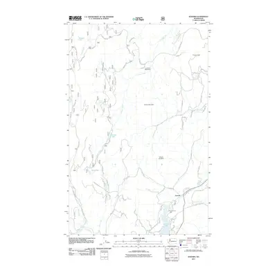
2011 Map of Karamin
USGS Topo · Published 2011About this map
Karamin serves as a small focal point in this high-elevation landscape of Ferry County, where water resources and rugged terrain dictate the local geography. The area is characterized by a network of drainage systems, including Emanuel Creek, Bacon Creek, and Empire Creek, which feed into several scattered mountain lakes. The northern reach of Curlew Lake is a primary feature, governed by the Curlew Lake Dam and the flow of Curlew Creek. Notable peaks such as Granite Mountain, Mount Elizabeth, and Franson Peak rise above the valleys, while localized features like Louis Spring and Lundimo Meadows provide specific points of reference for those familiar with the high-country terrain. This 2011 survey documents a relatively modern road network, including Co HWY 510 and several Forest Service roads like Henry Creek RD, reflecting the ongoing utility of these mountain passes for timber and recreation.
Find a feature on this map
59 named features on this map. Tap any name to fly to it.
Don’t see what you’re looking for? This feature index may not catch every label — zoom into the map to look around manually.
Map Details
Editions of this 2011 Karamin Map
This is the sole edition of this map. No revisions or reprints were ever made.
Other maps of this area
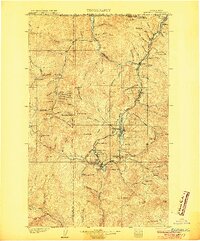
1904 · Republic
USGS Topo · 1:125,000
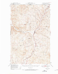
1948 · Curlew
USGS Topo · 1:62,500
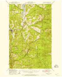
1948 · Republic
USGS Topo · 1:62,500
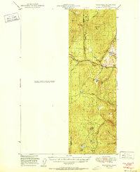
1951 · Wauconda
USGS Topo · 1:62,500
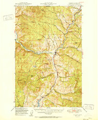
1951 · Curlew
USGS Topo · 1:62,500
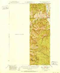
1951 · Bodie Mountain
USGS Topo · 1:62,500
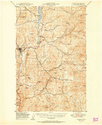
1951 · Republic
USGS Topo · 1:62,500
1954 · Okanogan
USGS Topo · 1:250,000
1958 · Okanogan
USGS Topo · 1:250,000
1958 · Aeneas
USGS Topo · 1:62,500