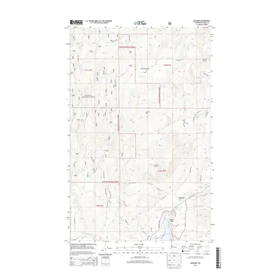
2014 Map of Karamin
USGS Topo · Published 2014About this map
Colville National Forest dominates the landscape of this 2014 survey, where the high country of the Kettle River Range meets the drainages of the Curlew Valley. The small settlement of Karamin sits along Wa-21, serving as a focal point near the northern reaches of Curlew Lake. This area of Ferry County is characterized by a network of forest service roads and timbered ridges, including Franson Peak and Mt Elizabeth. The map captures the complex topography of the region, from the open waters of Malo Lake to the secluded alpine environments of Lundimo Meadows. Numerous small tributaries like Emanuel Cr and Bacon Cr carve through the terrain, illustrating the hydrological patterns that have shaped local land use and forestry practices for generations.
Find a feature on this map
64 named features on this map. Tap any name to fly to it.
Don’t see what you’re looking for? This feature index may not catch every label — zoom into the map to look around manually.
Map Details
Editions of this 2014 Karamin Map
This is the sole edition of this map. No revisions or reprints were ever made.
Other maps of this area

1904 · Republic
USGS Topo · 1:125,000

1948 · Curlew
USGS Topo · 1:62,500

1948 · Republic
USGS Topo · 1:62,500

1951 · Wauconda
USGS Topo · 1:62,500

1951 · Curlew
USGS Topo · 1:62,500

1951 · Bodie Mountain
USGS Topo · 1:62,500

1951 · Republic
USGS Topo · 1:62,500

1954 · Okanogan
USGS Topo · 1:250,000

1958 · Okanogan
USGS Topo · 1:250,000

1958 · Aeneas
USGS Topo · 1:62,500