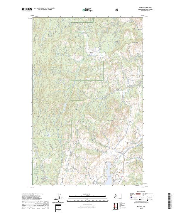
2023 Map of Karamin
USGS Topo · Published 2023About this map
Karamin sits at the intersection of mountain terrain and alpine water bodies within the sprawling northern reaches of the Colville National Forest. The landscape is defined by significant elevations such as Franson Peak, Granite Mtn, and Mt Elizabeth, which oversee a network of drainages including Henry Creek and Emanuel Creek. The presence of Lundimo Meadows and Hidden Meadows Ln suggests a high-country environment of open clearings amidst the timber, while the southern portion of the map transitions into the recreationally significant basin of Curlew Lake. This 2023 survey details a modern landscape where forest service infrastructure and local transit, like Co Hwy 545 and Co Hwy 570, provide access to remote lakeside settlements and mountain lookouts. Genealogists and local historians can trace modern property access through named routes like Dragon's Lair Ln and Rose Haven Cir.
Find a feature on this map
64 named features on this map. Tap any name to fly to it.
Don’t see what you’re looking for? This feature index may not catch every label — zoom into the map to look around manually.
Map Details
Editions of this 2023 Karamin Map
This is the sole edition of this map. No revisions or reprints were ever made.
Other maps of this area

1904 · Republic
USGS Topo · 1:125,000

1948 · Curlew
USGS Topo · 1:62,500

1948 · Republic
USGS Topo · 1:62,500

1951 · Wauconda
USGS Topo · 1:62,500

1951 · Curlew
USGS Topo · 1:62,500

1951 · Bodie Mountain
USGS Topo · 1:62,500

1951 · Republic
USGS Topo · 1:62,500

1954 · Okanogan
USGS Topo · 1:250,000

1958 · Okanogan
USGS Topo · 1:250,000

1958 · Aeneas
USGS Topo · 1:62,500