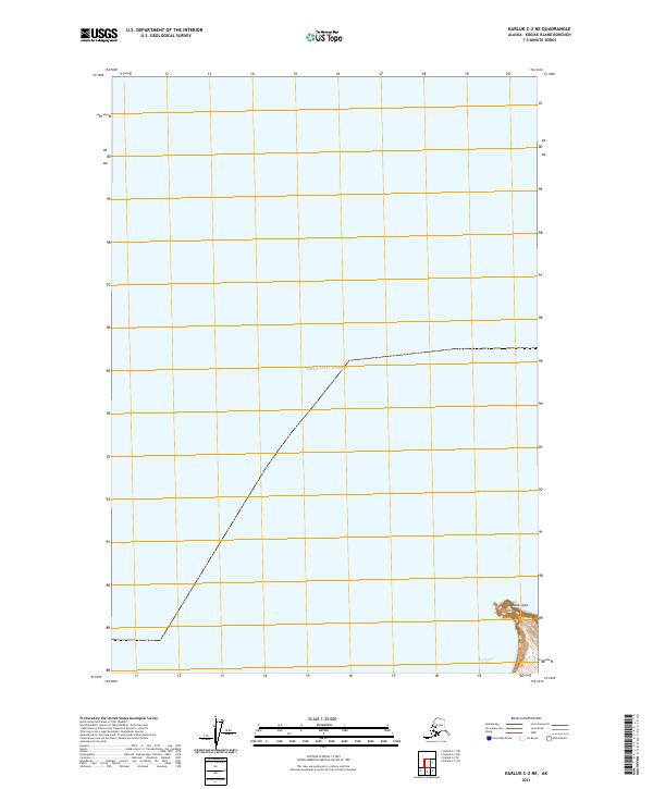
2021 Map of Karluk C-2 NE
USGS Topo · Published 2021About this map
Cape Uyak serves as a prominent maritime landmark on the western coast of Kodiak Island, marking the entrance to protected waters south of the expansive Shelikof Strait. This 2021 survey illustrates the coastal interface where the rugged topography of the island drops into the sea, including the sheltered inlet of Northeast Harbor. The map's grid system, designated as t29s r32w, provides a precise spatial framework for this remote Alaskan coastline. Primarily defined by its hydrographic features, the map documents the relationship between the island's steep shorelines and the vital maritime corridors that have historically supported the region's fishing and transportation networks.
Find a feature on this map
4 named features on this map. Tap any name to fly to it.
Don’t see what you’re looking for? This feature index may not catch every label — zoom into the map to look around manually.
Map Details
Editions of this 2021 Karluk C-2 NE Map
This is the sole edition of this map. No revisions or reprints were ever made.
Other maps of this area

1951 · Karluk
USGS Topo · 1:250,000

1952 · Karluk
USGS Topo · 1:250,000

1952 · Karluk C-2
USGS Topo · 1:63,360

1952 · Karluk C-1
USGS Topo · 1:63,360
1954 · Karluk C-1
USGS Topo · 1:63,360
1954 · Karluk C-2
USGS Topo · 1:63,360

1964 · Karluk
USGS Topo · 1:250,000
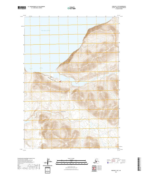
2021 · Karluk C-2 SE
USGS Topo · 1:25,000
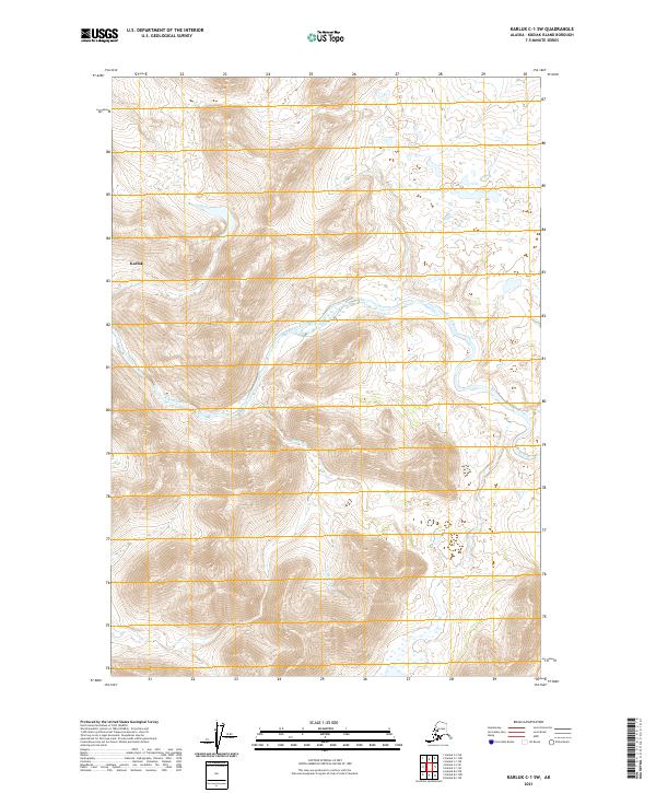
2021 · Karluk C-1 SW
USGS Topo · 1:25,000
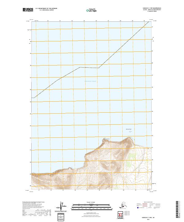
2021 · Karluk C-1 NW
USGS Topo · 1:25,000