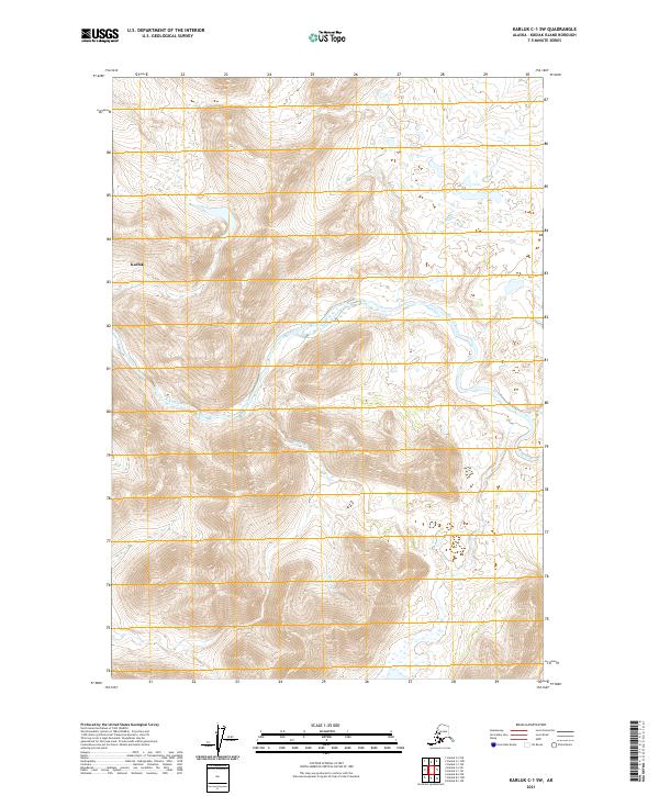
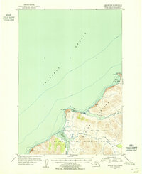
2021 Map of Karluk C-1 SW
USGS Topo · Published 2021About this map
Karluk River winds through the heart of this Kodiak Island landscape, carving a deep valley through the high ridges of the southwest quadrangle. The terrain is defined by steep elevation changes, centered around the landform labeled Karluk in the western portion of the sheet. This 2021 survey reveals a primitive drainage network where Shasta Cr feeds into the primary river system, reflecting the untouched hydrology of the region. The map primarily documents the natural topography and the established township and range lines, such as t30s r31w, illustrating how modern cartographic standards overlay the ancient Kodiak wilderness. It is an essential document for understanding the drainage patterns and land divisions in this specific corner of the island.
Find a feature on this map
10 named features on this map. Tap any name to fly to it.
Don’t see what you’re looking for? This feature index may not catch every label — zoom into the map to look around manually.
Map Details
Editions of this 2021 Karluk C-1 SW Map
This is the sole edition of this map. No revisions or reprints were ever made.
Other maps of this area

1951 · Karluk
USGS Topo · 1:250,000

1952 · Karluk
USGS Topo · 1:250,000

1952 · Karluk C-2
USGS Topo · 1:63,360

1952 · Karluk B-2
USGS Topo · 1:63,360

1952 · Karluk B-1
USGS Topo · 1:63,360

1952 · Karluk C-1
USGS Topo · 1:63,360
1954 · Karluk C-1
USGS Topo · 1:63,360
1954 · Karluk B-1
USGS Topo · 1:63,360
1954 · Karluk B-2
USGS Topo · 1:63,360
1954 · Karluk C-2
USGS Topo · 1:63,360