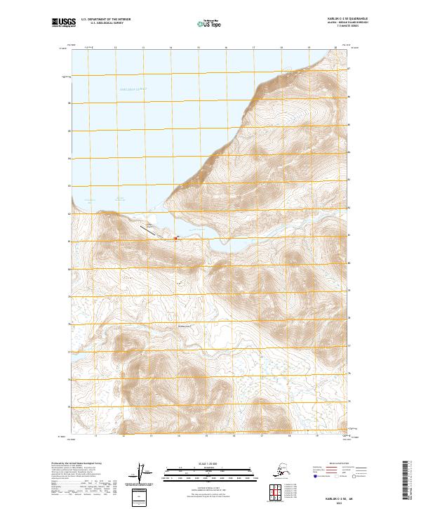
2021 Map of Karluk C-2 SE
USGS Topo · Published 2021About this map
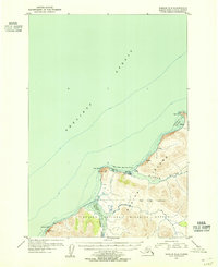
Karluk Lagoon dominates the coastal interface of this 2021 topographic study, where the Karluk River meets the saltwater of the Shelikof Strait. The map documents a critical transportation hub on the western coast of Kodiak Island, anchored by the Karluk Airport and its connecting Airport Access Road. This infrastructure supports the local maritime and aviation economy, providing access to the sheltered waters of Karluk Anchorage and the nearby Tanglefoot Bay. The landscape is characterized by significant elevation changes, with the river winding through coastal lowlands before reaching the inlet. The placement of these features illustrates the strategic importance of the lagoon as a natural harbor and vital link between the island's interior waterways and the open strait.
Find a feature on this map
13 named features on this map. Tap any name to fly to it.
Don’t see what you’re looking for? This feature index may not catch every label — zoom into the map to look around manually.
Map Details
Editions of this 2021 Karluk C-2 SE Map
This is the sole edition of this map. No revisions or reprints were ever made.
Other maps of this area

1951 · Karluk
USGS Topo · 1:250,000

1952 · Karluk
USGS Topo · 1:250,000

1952 · Karluk C-2
USGS Topo · 1:63,360

1952 · Karluk B-2
USGS Topo · 1:63,360

1952 · Karluk B-1
USGS Topo · 1:63,360

1952 · Karluk C-1
USGS Topo · 1:63,360
1954 · Karluk C-1
USGS Topo · 1:63,360
1954 · Karluk B-1
USGS Topo · 1:63,360
1954 · Karluk B-2
USGS Topo · 1:63,360
1954 · Karluk C-2
USGS Topo · 1:63,360