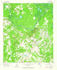
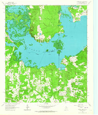
1962 Map of Karnack
USGS Topo · Published 1964About this map
Longhorn Ordnance Works dominates the eastern landscape of this 1960s survey, illustrating the industrial footprint of mid-century military production in Harrison County. Nearby, the community of Karnack serves as a central hub, featuring the Karnack Sch, Carver High Sch, and several local burial grounds including Hope No 1 Cem. The northern portion of the map is defined by the complex aquatic network of Big Cypress Bayou and Caddo Lake, where the maze of water features includes Hells Half Acre, Lone Pine Stretch, and Clintons Chute.
Find a feature on this map
63 named features on this map. Tap any name to fly to it.
Don’t see what you’re looking for? This feature index may not catch every label — zoom into the map to look around manually.
Map Details
Editions of this 1962 Karnack Map
2 editions found
Other maps of this area

1944 · Kildare
USGS Topo · 1:62,500

1944 · Caddo Lake
USGS Topo · 1:62,500

1946 · Caddo Lake
USGS Topo · 1:62,500

1948 · Kildare
USGS Topo · 1:62,500

1956 · Tyler
USGS Topo · 1:250,000
1962 · Trees
USGS Topo · 1:24,000

1962 · Woodlawn
USGS Topo · 1:24,000
1962 · Smithland
USGS Topo · 1:24,000

1962 · Jefferson
USGS Topo · 1:24,000
1962 · Potters Point
USGS Topo · 1:24,000