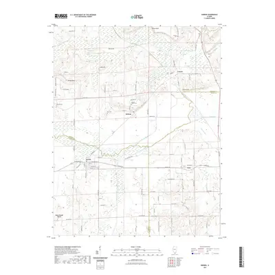
2021 Map of Karnak
USGS Topo · Published 2021About this map
The low-lying bottomlands of southern Illinois are defined here by the Cache River and its intricate network of tributaries and drainage features. In this landscape, the village of Karnak sits at a crossroads of local history, flanked by the Post Creek Cutoff and the Old Cache River. The topography is marked by several distinctive elevations rising above the wetlands, including Hairy Hill, Boss Island, and Indian Point.
Find a feature on this map
93 named features on this map. Tap any name to fly to it.
Don’t see what you’re looking for? This feature index may not catch every label — zoom into the map to look around manually.
Map Details
Editions of this 2021 Karnak Map
This is the sole edition of this map. No revisions or reprints were ever made.
Other maps of this area

1918 · Vienna
USGS Topo · 1:62,500

1919 · Vienna
USGS Topo · 1:62,500

1920 · Dongola
USGS Topo · 1:62,500

1923 · Dongola
USGS Topo · 1:62,500

1928 · La Center
USGS Topo · 1:62,500

1931 · Cairo
USGS Topo · 1:62,500

1932 · La Center
USGS Topo · 1:62,500

1933 · Cairo
USGS Topo · 1:62,500

1939 · Cairo
USGS Topo · 1:62,500

1942 · Vienna
USGS Topo · 1:62,500