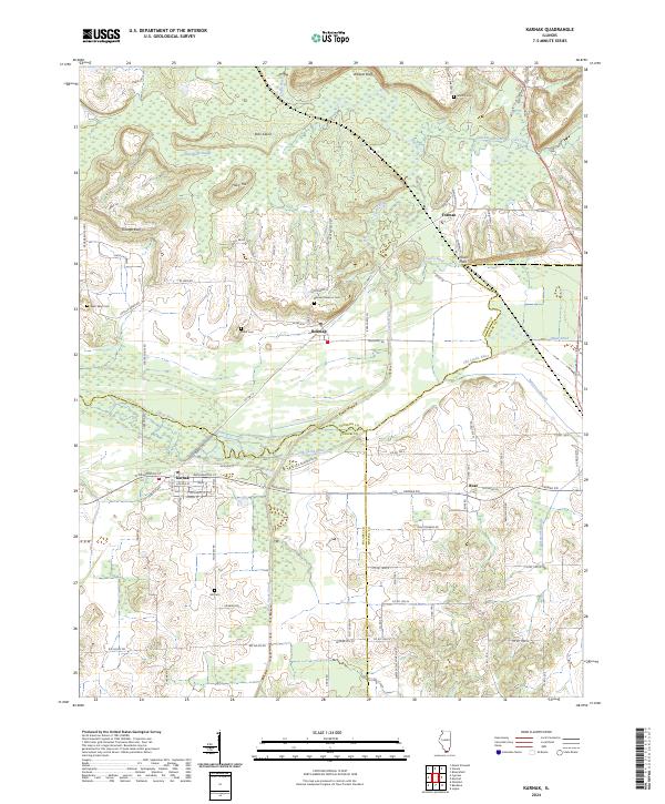
2024 Map of Karnak
USGS Topo · Published 2024About this map
The Cache River and its intricate drainage network dominate this Southern Illinois landscape at the intersection of Johnson, Pulaski, and Massac counties. The town of Karnak serves as a primary hub in the south, while Belknap and the smaller settlement of Forman sit further north near the winding course of Dutchman Creek. The topography is marked by distinctive rises like Hairy Hill and Boss Island, which emerge from the surrounding wetlands and sloughs.
Find a feature on this map
90 named features on this map. Tap any name to fly to it.
Don’t see what you’re looking for? This feature index may not catch every label — zoom into the map to look around manually.
Map Details
Editions of this 2024 Karnak Map
This is the sole edition of this map. No revisions or reprints were ever made.
Other maps of this area

1918 · Vienna
USGS Topo · 1:62,500

1919 · Vienna
USGS Topo · 1:62,500

1920 · Dongola
USGS Topo · 1:62,500

1923 · Dongola
USGS Topo · 1:62,500

1928 · La Center
USGS Topo · 1:62,500

1931 · Cairo
USGS Topo · 1:62,500

1932 · La Center
USGS Topo · 1:62,500

1933 · Cairo
USGS Topo · 1:62,500

1939 · Cairo
USGS Topo · 1:62,500

1942 · Vienna
USGS Topo · 1:62,500