
1929 Map of Karthaus
USGS Topo · Published 1929About this map
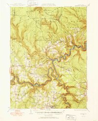
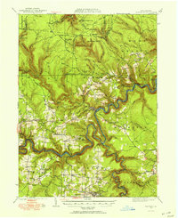
The West Branch Susquehanna River carves a deep, winding path through the plateau of central Pennsylvania, dictating the development of the river-and-rail economy in this region. The New York Central Railroad snakes along the northern bank, serving isolated river settlements like Cataract and Pottersdale. The uplands are dotted with a dense network of early 20th-century rural infrastructure, including a remarkable number of local schoolhouses such as Oak Hill Sch, Mignot Sch, and the Gorman Settlement Sch.
Find a feature on this map
90 named features on this map. Tap any name to fly to it.
Don’t see what you’re looking for? This feature index may not catch every label — zoom into the map to look around manually.
Map Details
Editions of this 1929 Karthaus Map
3 editions found
Other maps of this area

1903 · Houtzdale
USGS Topo · 1:62,500

1905 · Houtzdale
USGS Topo · 1:62,500

1908 · Bellefonte
USGS Topo · 1:62,500

1909 · Bellefonte
USGS Topo · 1:62,500

1922 · Philipsburg
USGS Topo · 1:62,500

1928 · Snow Shoe
USGS Topo · 1:48,000

1929 · Clearfield
USGS Topo · 1:48,000

1931 · Show Shoe
USGS Topo · 1:62,500

1932 · Clearfield
USGS Topo · 1:62,500

1932 · Karthaus
USGS Topo · 1:62,500
Featured Places
- Karthaus Township, PA
- Moshannon, PA
- Benezette Township, PA
- Rush Township, PA
- Rolling Stone, Covington Township