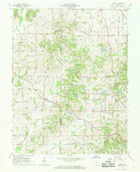
1961 Map of Kasson
USGS Topo · Published 1963About this map
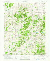
The rolling agricultural landscape of southwestern Indiana is defined here by a network of rural hamlets and family-named homesteads across the Vanderburgh and Posey county line. Settlements like Saint Wendel and Armstrong serve as local hubs, connected by a dense grid of gravel and paved roads such as Spahn Road and St Wendel Road. The region's spiritual and community life is anchored by landmarks like St Peters Ch, Zoar Ch, and several well-maintained cemeteries including Engleheim Cem and Higinbottom Cem.
Find a feature on this map
63 named features on this map. Tap any name to fly to it.
Don’t see what you’re looking for? This feature index may not catch every label — zoom into the map to look around manually.
Map Details
Editions of this 1961 Kasson Map
2 editions found
Other maps of this area

1901 · Haubstadt
USGS Topo · 1:62,500

1903 · Haubstadt
USGS Topo · 1:62,500

1903 · New Harmony
USGS Topo · 1:62,500

1903 · Patoka
USGS Topo · 1:125,000

1914 · Henderson
USGS Topo · 1:48,000

1916 · Henderson
USGS Topo · 1:62,500

1917 · Uniontown
USGS Topo · 1:62,500

1938 · New Harmony
USGS Topo · 1:62,500

1952 · Evansville
USGS Topo · 1:24,000

1954 · Evansville
USGS Topo · 1:250,000