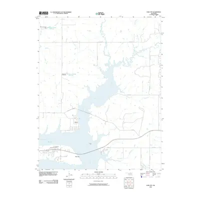
2009 Map of Kaw City
USGS Topo · Published 2009About this map
Kaw City sits at the northern reaches of Kaw Lake, where the waters of the Arkansas River and Beaver Creek converge. This 2009 landscape reflects decades of hydrologic change, with the lake's fingers reaching into numerous drainages such as Sarge Creek, Stewart Creek, and Stub Creek. The map documents a blend of recreation and energy production, anchored by the Kaw Oil Field situated on the eastern banks of the river valley.
Find a feature on this map
35 named features on this map. Tap any name to fly to it.
Don’t see what you’re looking for? This feature index may not catch every label — zoom into the map to look around manually.
Map Details
Editions of this 2009 Kaw City Map
This is the sole edition of this map. No revisions or reprints were ever made.
Other maps of this area

1916 · Foraker
USGS Topo · 1:62,500

1932 · Fairfax
USGS Topo · 1:62,500

1935 · Kaw
USGS Topo · 1:62,500

1936 · Belford
USGS Topo · 1:62,500

1955 · Enid
USGS Topo · 1:250,000

1958 · Enid
USGS Topo · 1:250,000

1963 · Charley Creek
USGS Topo · 1:24,000

1963 · Uncas
USGS Topo · 1:24,000

1963 · Kaw City NW
USGS Topo · 1:24,000

1964 · Charley Creek NE
USGS Topo · 1:24,000