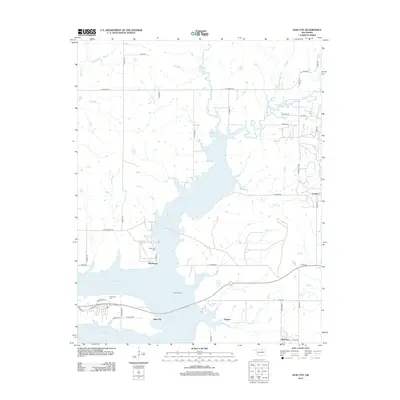
2012 Map of Kaw City
USGS Topo · Published 2012About this map
Kaw Lake dominates this northern Oklahoma landscape, its sprawling waters defining the geography around Kaw City and Washunga. This 2012 survey shows the extensive shoreline and recreational indentations like Washunga Bay and Sarge Creek Cove. To the east, the Kaw Oil Field indicates the region's continuing industrial footprint, while smaller settlements like Soldani, Apperson, and Cooper dot the rural periphery.
Find a feature on this map
50 named features on this map. Tap any name to fly to it.
Don’t see what you’re looking for? This feature index may not catch every label — zoom into the map to look around manually.
Map Details
Editions of this 2012 Kaw City Map
This is the sole edition of this map. No revisions or reprints were ever made.
Other maps of this area

1916 · Foraker
USGS Topo · 1:62,500

1932 · Fairfax
USGS Topo · 1:62,500

1935 · Kaw
USGS Topo · 1:62,500

1936 · Belford
USGS Topo · 1:62,500

1955 · Enid
USGS Topo · 1:250,000

1958 · Enid
USGS Topo · 1:250,000

1963 · Charley Creek
USGS Topo · 1:24,000

1963 · Uncas
USGS Topo · 1:24,000

1963 · Kaw City NW
USGS Topo · 1:24,000

1964 · Charley Creek NE
USGS Topo · 1:24,000