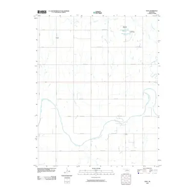
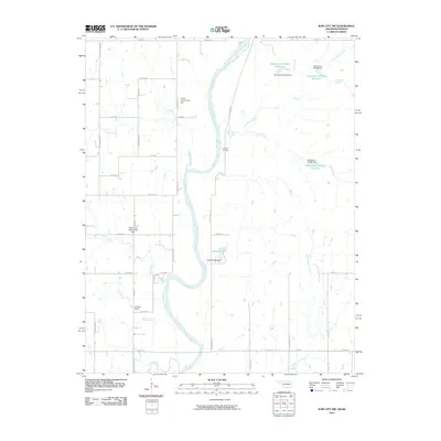
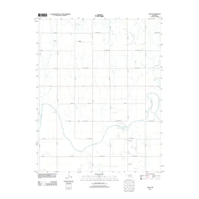
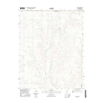
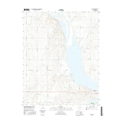
1935 Map of Kaw
USGS Topo · Published 1935About this map
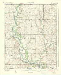
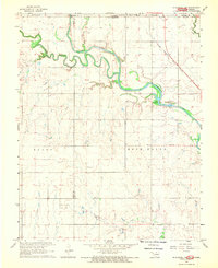
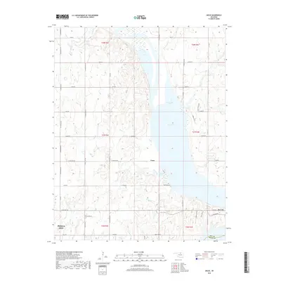
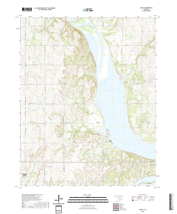
The Arkansas River dictates the landscape of this 1930s survey, winding southward through Kay County and Osage County toward the Oxbow Bend. The river valley is a hub of early twentieth-century activity, anchored by the settlements of Kaw and Washunga. The Atchison Topeka and Santa Fe Railway tracks parallel the water, connecting these river towns to Uncas and beyond.
Find a feature on this map
55 named features on this map. Tap any name to fly to it.
Don’t see what you’re looking for? This feature index may not catch every label — zoom into the map to look around manually.
Map Details
Editions of this 1935 Kaw Map
2 editions found
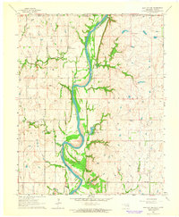
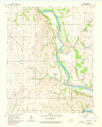
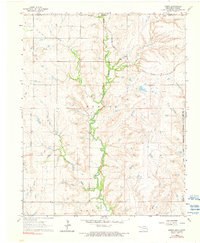
Historical Maps of Ponca City Through Time
43 maps found

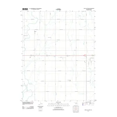
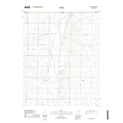
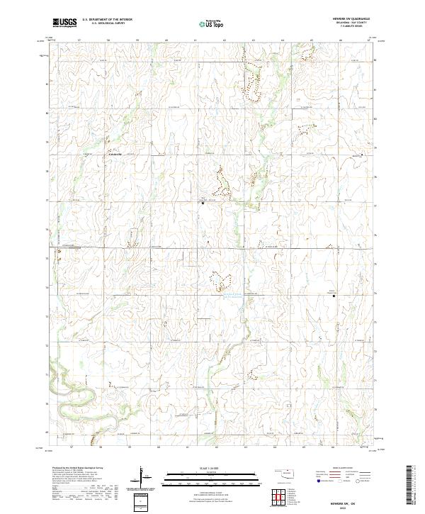
1935 Kaw
Kay County, OK
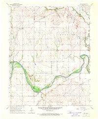
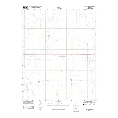
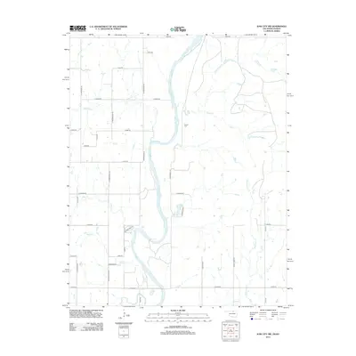
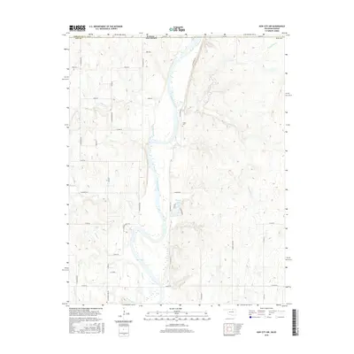
1963 Kaw City NW
Kay County, OK
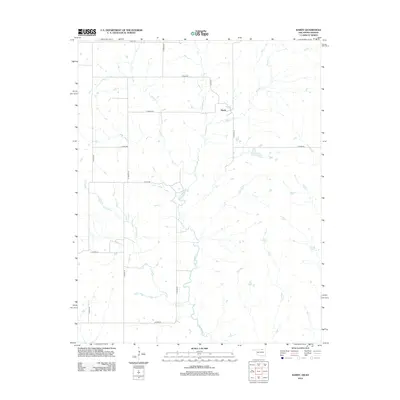
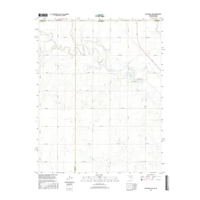
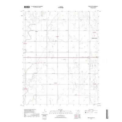
1963 Uncas
Kay County, OK
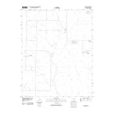
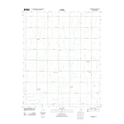
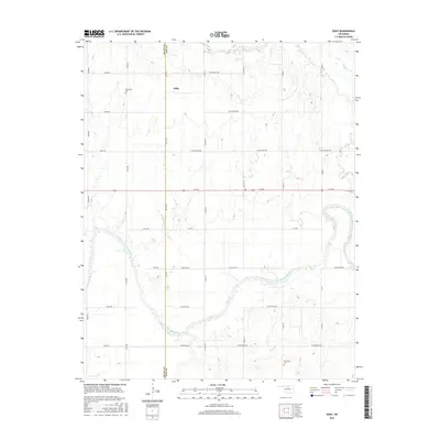
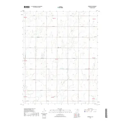
1964 Hardy
Kay County, OK
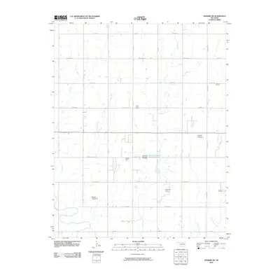
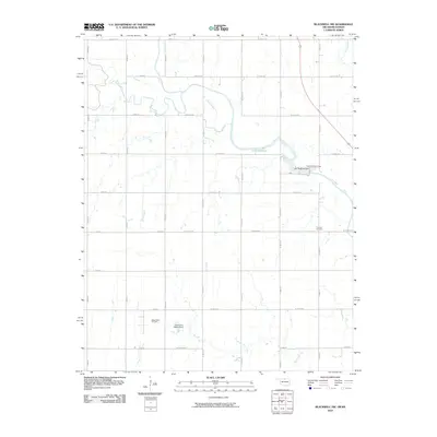
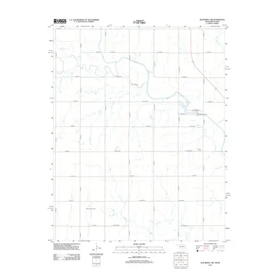
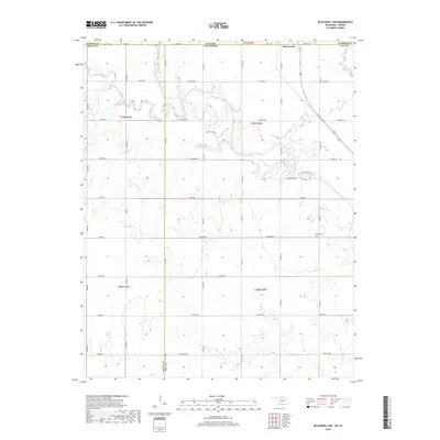
1968 Blackwell NW
Kay County, OK
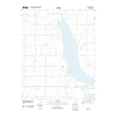
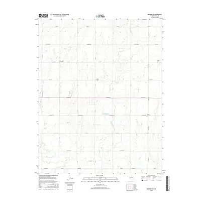
1968 Eddy
Kay County, OK
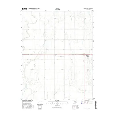
1968 Newkirk SW
Kay County, OK
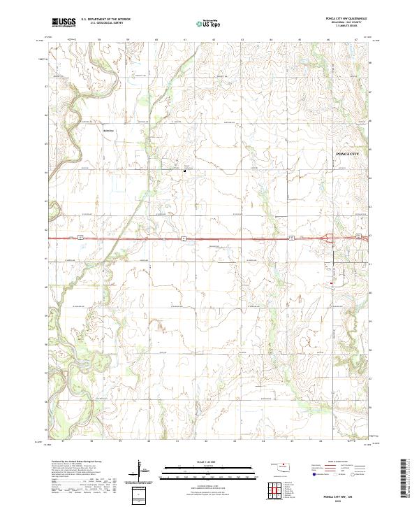
1968 Ponca City NW
Kay County, OK
2009 Eddy
Kay County, OK
2009 Newkirk SW
Kay County, OK
2010 Blackwell NW
Kay County, OK
2010 Hardy
Kay County, OK
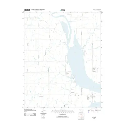
2010 Kaw City NW
Kay County, OK
2010 Ponca City NW
Kay County, OK
2010 Uncas
Kay County, OK
2012 Blackwell NW
Kay County, OK
2012 Eddy
Kay County, OK
2012 Hardy
Kay County, OK
2012 Kaw City NW
Kay County, OK
2012 Newkirk SW
Kay County, OK
2012 Ponca City NW
Kay County, OK
2012 Uncas
Kay County, OK
2016 Blackwell NW
Kay County, OK
2016 Eddy
Kay County, OK
2016 Hardy
Kay County, OK
2016 Kaw City NW
Kay County, OK
2016 Newkirk SW
Kay County, OK
2016 Ponca City NW
Kay County, OK
2016 Uncas
Kay County, OK
2018 Blackwell NW
Kay County, OK
2018 Eddy
Kay County, OK
2018 Hardy
Kay County, OK
2018 Kaw City NW
Kay County, OK
2018 Newkirk SW
Kay County, OK
2018 Ponca City NW
Kay County, OK
2018 Uncas
Kay County, OK
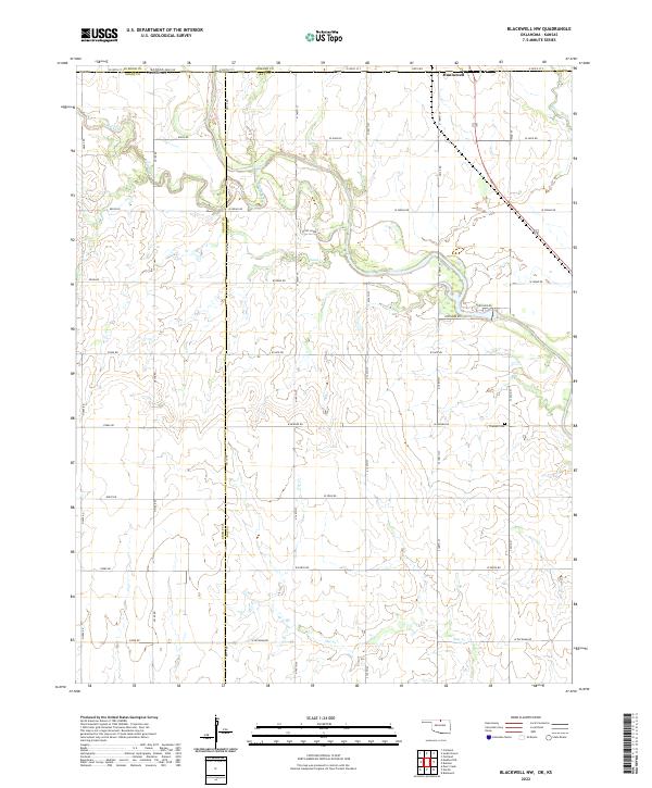
2022 Blackwell NW
Kay County, OK
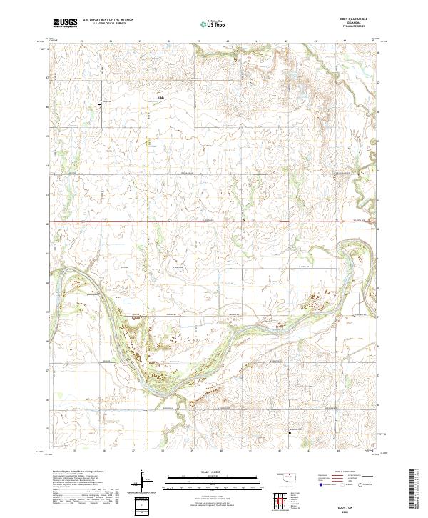
2022 Eddy
Kay County, OK
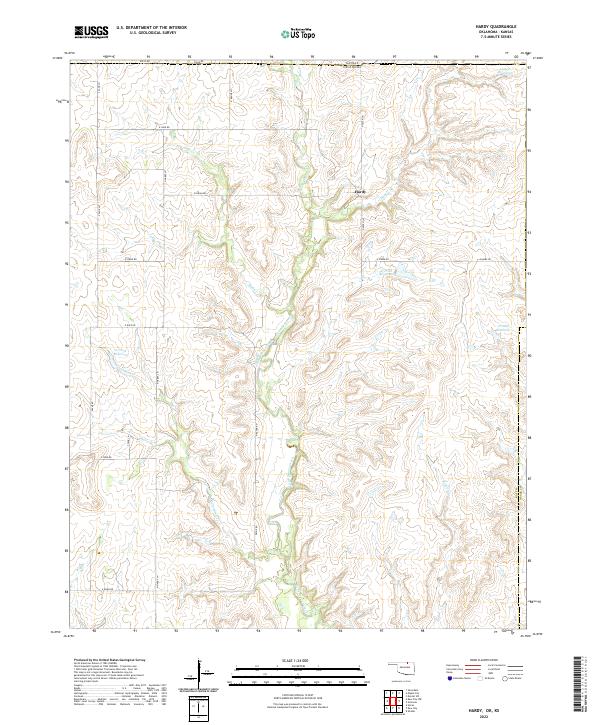
2022 Hardy
Kay County, OK
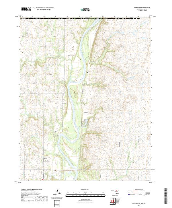
2022 Kaw City NW
Kay County, OK
2022 Newkirk SW
Kay County, OK
2022 Ponca City NW
Kay County, OK
2022 Uncas
Kay County, OK