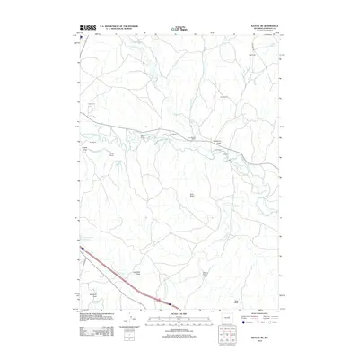
2012 Map of Kaycee NE
USGS Topo · Published 2012About this map
The confluence of the Middle Fork Powder River and the N Fork Powder River defines this landscape in Johnson County, where a network of historic water management features supported local ranching operations. The Sussex Irrigation Canal and numerous ditches, including Jarrard Ditch, Miles Ditch, and Modoc Ditch, illustrate the vital role of irrigation in the high plains. Named ranching homesteads such as Smith Ranch, Elm Ranch, and Jarrard Ranch are situated along the river breaks and drainage draws. To the northwest, the Kaycee Cem sits near the river's path, while the southern terrain is marked by prominent topographic features like Rock Ridge and several named draws including Jackrabbit Draw and Ellison Draw. This mapping of the early 21st century documents the continued importance of the Powder River basin's water resources to the region's agricultural heritage.
Find a feature on this map
31 named features on this map. Tap any name to fly to it.
Don’t see what you’re looking for? This feature index may not catch every label — zoom into the map to look around manually.
Map Details
Editions of this 2012 Kaycee NE Map
This is the sole edition of this map. No revisions or reprints were ever made.
Other maps of this area

1955 · Arminto
USGS Topo · 1:250,000

1958 · Arminto
USGS Topo · 1:250,000

1961 · Kaycee NE
USGS Topo · 1:24,000

1961 · Fourmile Reservoir
USGS Topo · 1:24,000

1961 · Figure 8 Reservoir
USGS Topo · 1:24,000

1961 · Dry Creek Reservoir
USGS Topo · 1:24,000

1961 · TTT Ranch
USGS Topo · 1:24,000

1961 · Dugout Ranch
USGS Topo · 1:24,000

1961 · Wall Creek
USGS Topo · 1:24,000

1961 · Hibbard Draw
USGS Topo · 1:24,000