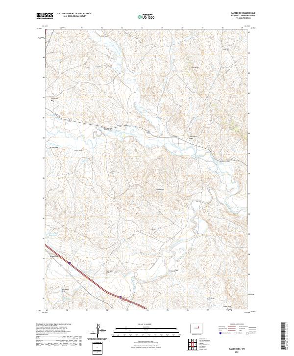
2021 Map of Kaycee NE
USGS Topo · Published 2021About this map
The confluence of the three forks of the Powder River defines this landscape in north-central Wyoming. Human engineering is prominently mapped through an extensive system of water management, including the Sussex Irrigation Canal, John Nolen Ditch, and Miles Ditch, which redirect water across the arid basins. These ditches represent the long-standing agricultural dependence on the river’s tributaries, including the Middle Fork Powder River and S Fork Powder River.
Find a feature on this map
37 named features on this map. Tap any name to fly to it.
Don’t see what you’re looking for? This feature index may not catch every label — zoom into the map to look around manually.
Map Details
Editions of this 2021 Kaycee NE Map
This is the sole edition of this map. No revisions or reprints were ever made.
Other maps of this area

1955 · Arminto
USGS Topo · 1:250,000

1958 · Arminto
USGS Topo · 1:250,000

1961 · Kaycee NE
USGS Topo · 1:24,000

1961 · Fourmile Reservoir
USGS Topo · 1:24,000

1961 · Figure 8 Reservoir
USGS Topo · 1:24,000

1961 · Dry Creek Reservoir
USGS Topo · 1:24,000

1961 · TTT Ranch
USGS Topo · 1:24,000

1961 · Dugout Ranch
USGS Topo · 1:24,000

1961 · Wall Creek
USGS Topo · 1:24,000

1961 · Hibbard Draw
USGS Topo · 1:24,000