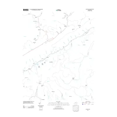
2013 Map of Kayjay
USGS Topo · Published 2013About this map
Log Mountains define the southern landscape of this Knox County region, where deep drainages like Cannel Coal Hollow and Puncheon Camp Hollow hint at the area's long industrial history. Small communities and family names are preserved through numerous burial grounds, including Bratcher Cem and Jones Cem, scattered among the ridges. High-elevation vantage points are established at Kentucky Ridge Lookout Tower and Log Mountain Lookout Tower, overlooking a network of creeks like Greasy Cr and Little Clear Cr that dictate the winding paths of local roads. The map records several established settlements such as Kayjay, Davisburg, and Chenoa, the latter situated near the shores of Chenoa Lake. This digital survey provides a detailed look at the topography and civil landmarks of the Kentucky hills in the early 21st century.
Find a feature on this map
106 named features on this map. Tap any name to fly to it.
Don’t see what you’re looking for? This feature index may not catch every label — zoom into the map to look around manually.
Map Details
Editions of this 2013 Kayjay Map
This is the sole edition of this map. No revisions or reprints were ever made.
Other maps of this area

1886 · Cumberland Gap
USGS Topo · 1:125,000

1888 · Cumberland Gap
USGS Topo · 1:125,000

1891 · Cumberland Gap
USGS Topo · 1:125,000

1903 · Pineville
USGS Topo · 1:48,000

1903 · Middlesboro
USGS Topo · 1:48,000

1927 · Middlesboro
USGS Topo · 1:62,500

1930 · Middlesboro
USGS Topo · 1:62,500

1935 · Mingo Mountains
USGS Topo · 1:24,000

1935 · Cumberland Gap
USGS Topo · 1:24,000
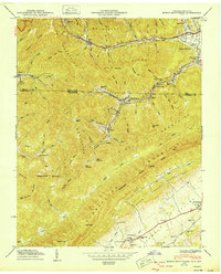
1950 · Mingo Mountains
USGS Topo · 1:24,000