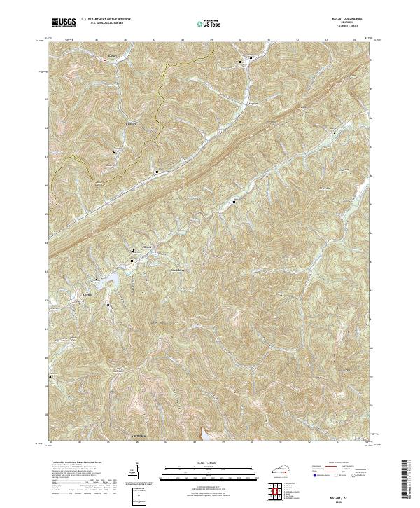
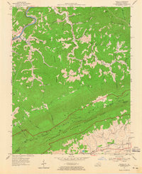
2022 Map of Kayjay
USGS Topo · Published 2022About this map
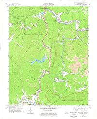
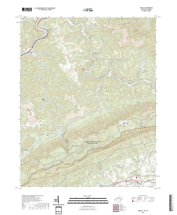
Log Mountains and Pine Mountain define the high-relief landscape of Bell and Knox counties, where mining-era settlements like Kayjay and Garmeada are tucked into the narrow hollows of the Cumberland Plateau. This 2022 survey documents a region defined by its steep terrain, showing a complex network of mountain gaps such as Fuson Gap and Brush Creek Gap that historically provided the only passage between isolated coal-country valleys.
Find a feature on this map
75 named features on this map. Tap any name to fly to it.
Don’t see what you’re looking for? This feature index may not catch every label — zoom into the map to look around manually.
Map Details
Editions of this 2022 Kayjay Map
This is the sole edition of this map. No revisions or reprints were ever made.
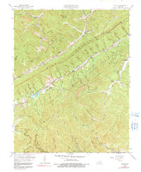
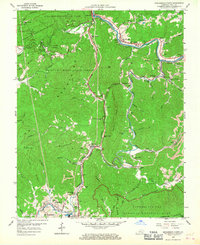
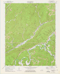
Historical Maps of Davisburg Through Time
25 maps found

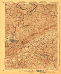
1903 Middlesboro
Bell County, KY

1927 Middlesboro
Bell County, KY
1930 Middlesboro
Bell County, KY

1935 Varilla
Bell County, KY

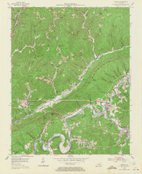
1952 Davisburg
Bell County, KY
1954 Balkan
Bell County, KY
1954 Beverly
Bell County, KY

1954 Middlesboro North
Bell County, KY
1954 Varilla
Bell County, KY
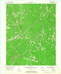
1959 Kayjay
Bell County, KY
1959 Middlesboro North
Bell County, KY
1974 Balkan
Bell County, KY
1974 Middlesboro North
Bell County, KY
1974 Middlesboro South
Bell County, KY
1974 Varilla
Bell County, KY
1976 Middlesboro North
Bell County, KY

1976 Middlesboro South
Bell County, KY

1976 Varilla
Bell County, KY

1979 Beverly
Bell County, KY
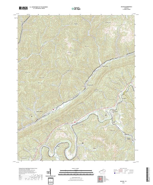
2022 Balkan
Bell County, KY
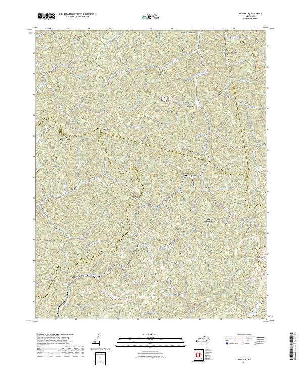
2022 Beverly
Bell County, KY
2022 Kayjay
Bell County, KY
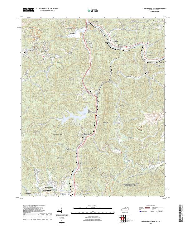
2022 Middlesboro North
Bell County, KY
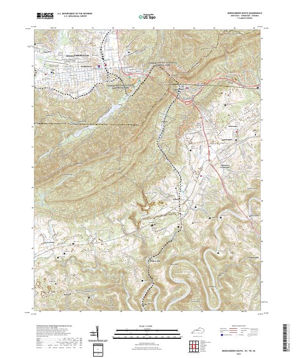
2022 Middlesboro South
Bell County, KY
2022 Varilla
Bell County, KY