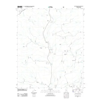
2011 Map of Kayler Butte
USGS Topo · Published 2011About this map
Old Fort Reno and the H Four Cemetery anchor the southern reach of this drainage basin, reflecting the area's frontier history and early settlement patterns. Located within the heart of Gila County, the landscape is defined by the convergence of Tonto Creek and numerous seasonal washes such as Packard Wash and Haufner Wash. The terrain is characterized by prominent elevations like Kayler Butte and Haystack Butte, which overlook a network of canyons and gulches including Sycamore Canyon and Reed Gulch.
Find a feature on this map
46 named features on this map. Tap any name to fly to it.
Don’t see what you’re looking for? This feature index may not catch every label — zoom into the map to look around manually.
Map Details
Editions of this 2011 Kayler Butte Map
This is the sole edition of this map. No revisions or reprints were ever made.
Other maps of this area

1887 · Verde
USGS Topo · 1:250,000

1892 · Verde
USGS Topo · 1:250,000

1907 · Roosevelt
USGS Topo · 1:125,000

1909 · Four Peaks
USGS Topo · 1:125,000

1912 · Roosevelt
USGS Topo · 1:125,000

1936 · Payson
USGS Topo · 1:48,000

1937 · Diamond Butte
USGS Topo · 1:48,000

1942 · Payson
USGS Topo · 1:62,500

1943 · Diamond Butte
USGS Topo · 1:62,500

1954 · Holbrook
USGS Topo · 1:250,000