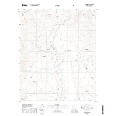
2018 Map of Kayler Butte
USGS Topo · Published 2018About this map
Tonto Creek dominates this Gila County landscape as it flows through the Tonto National Forest, carving a wide valley flanked by the towering heights of the Sierra Ancha and Kayler Butte. This 2018 survey documents a region defined by its rugged topography and vital water sources, with numerous springs such as Bootlegger Spring, Water Wheel Spring, and Dipper Spring scattered across the high desert terrain. The settlement of Tonto Basin serves as the central hub, situated along State Highway 188.
Find a feature on this map
69 named features on this map. Tap any name to fly to it.
Don’t see what you’re looking for? This feature index may not catch every label — zoom into the map to look around manually.
Map Details
Editions of this 2018 Kayler Butte Map
This is the sole edition of this map. No revisions or reprints were ever made.
Other maps of this area

1887 · Verde
USGS Topo · 1:250,000

1892 · Verde
USGS Topo · 1:250,000

1907 · Roosevelt
USGS Topo · 1:125,000

1909 · Four Peaks
USGS Topo · 1:125,000

1912 · Roosevelt
USGS Topo · 1:125,000

1936 · Payson
USGS Topo · 1:48,000

1937 · Diamond Butte
USGS Topo · 1:48,000

1942 · Payson
USGS Topo · 1:62,500

1943 · Diamond Butte
USGS Topo · 1:62,500

1954 · Holbrook
USGS Topo · 1:250,000