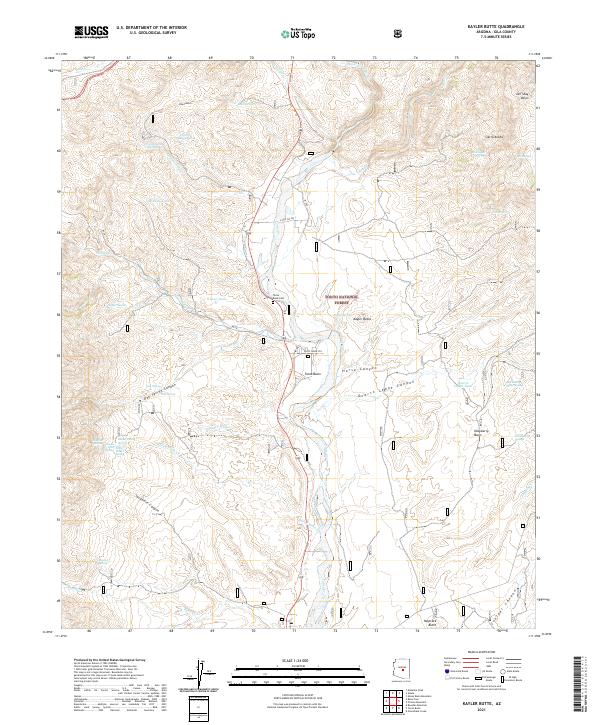
2021 Map of Kayler Butte
USGS Topo · Published 2021About this map
Tonto Cr carves a deep central valley through the heart of this Gila County landscape, providing a vital riparian corridor within the Tonto National Forest. The settlement of Tonto Basin serves as the primary focal point, situated near the Tonto Basin Cem and the intersection of local routes like E Del Chi Dr. To the east, the terrain rises sharply into the Sierra Ancha range, characterized by complex drainages such as Gun Cr and Hardt Cr.
Find a feature on this map
64 named features on this map. Tap any name to fly to it.
Don’t see what you’re looking for? This feature index may not catch every label — zoom into the map to look around manually.
Map Details
Editions of this 2021 Kayler Butte Map
This is the sole edition of this map. No revisions or reprints were ever made.
Other maps of this area

1887 · Verde
USGS Topo · 1:250,000

1892 · Verde
USGS Topo · 1:250,000

1907 · Roosevelt
USGS Topo · 1:125,000

1909 · Four Peaks
USGS Topo · 1:125,000

1912 · Roosevelt
USGS Topo · 1:125,000

1936 · Payson
USGS Topo · 1:48,000

1937 · Diamond Butte
USGS Topo · 1:48,000

1942 · Payson
USGS Topo · 1:62,500

1943 · Diamond Butte
USGS Topo · 1:62,500

1954 · Holbrook
USGS Topo · 1:250,000