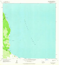
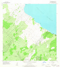
1963 Map of Keaau Ranch
USGS Topo · Published 1964About this map
Keaau lands meeting the Pacific Ocean define this coastal landscape on the windward side of the Big Island. The map documents a sparsely populated shoreline where the agricultural efforts of Keaau Orchard and Keaau Ranch are the primary markers of human activity. The topography is marked by coastal features like Kaloli Point and the spring or water feature at Wahine Maka Nui, situated along a coast that lacks major infrastructure.
Find a feature on this map
21 named features on this map. Tap any name to fly to it.
Don’t see what you’re looking for? This feature index may not catch every label — zoom into the map to look around manually.
Map Details
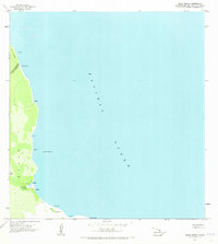
Editions of this 1963 Keaau Ranch Map
2 editions found
Other maps of this area

1915 · Honomu
USGS Topo · 1:62,500

1917 · Hilo
USGS Topo · 1:62,500

1924 · Makuu
USGS Topo · 1:62,500

1932 · Hilo
USGS Topo · 1:62,500

1954 · Hawaii North
USGS Topo · 1:250,000

1959 · Hawaii North
USGS Topo · 1:250,000

1961 · Hawaii North
USGS Topo · 1:250,000
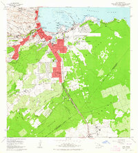
1963 · Hilo
USGS Topo · 1:24,000
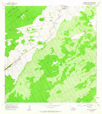
1963 · Mountain View
USGS Topo · 1:24,000
1965 · Pahoa North
USGS Topo · 1:24,000