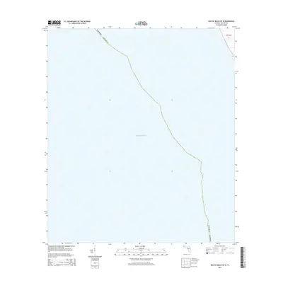
2015 Map of Keaton Beach OE W
USGS Topo · Published 2015About this map
The waters of the Gulf of Mexico dominate this 2015 maritime survey of the Big Bend coastline. Situated along the jurisdictional boundary of Florida Taylor Co, the map focuses primarily on the open sea and the subtle transition between the shallow gulf waters and the coastal wetlands. The survey captures a specific moment in the shoreline's shifting morphology, providing a precise record of the maritime boundary for Taylor County before further modern developments or natural erosion could alter the coast. Aside from the established township and range markers like t7s r7e 16, the map highlights the sparse and quiet nature of this Gulf coast region, where the land and sea meet in a complex, unnamed network of inlets and marshes.
Find a feature on this map
5 named features on this map. Tap any name to fly to it.
Don’t see what you’re looking for? This feature index may not catch every label — zoom into the map to look around manually.
Map Details
Editions of this 2015 Keaton Beach OE W Map
This is the sole edition of this map. No revisions or reprints were ever made.
Other maps of this area

1954 · Warrior Swamp
USGS Topo · 1:24,000

1954 · Keaton Beach
USGS Topo · 1:24,000

1954 · Okefenokee Slough
USGS Topo · 1:24,000

1954 · Crooked Point
USGS Topo · 1:24,000

1954 · Gainesville
USGS Topo · 1:250,000

1955 · Rock Islands
USGS Topo · 1:24,000

1958 · Gainesville
USGS Topo · 1:250,000

1959 · Gainesville
USGS Topo · 1:250,000
1978 · Cross City
USGS Topo · 1:100,000
1994 · Rock Islands
USGS Topo · 1:24,000