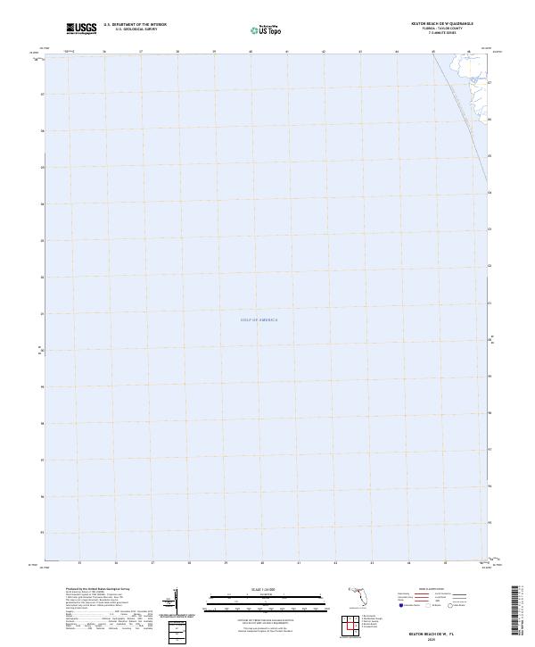
2025 Map of Keaton Beach OE W
USGS Topo · Published 2025About this map
The vast expanse of the Gulf of America dominates this coastal survey off Taylor County, where the maritime environment is defined by its relation to the Florida shoreline. While much of the quadrangle covers open water, it records the offshore route of the Florida Circumnavigational Paddling Trail Trl as it skirts the Gulf Coast. This modern nautical mapping reflects the contemporary use of the Florida panhandle’s coastal waters for long-distance recreation and navigation, marking out the designated paddling corridor that links different regions of the state’s shoreline along the eastern Gulf.
Find a feature on this map
2 named features on this map. Tap any name to fly to it.
Don’t see what you’re looking for? This feature index may not catch every label — zoom into the map to look around manually.
Map Details
Editions of this 2025 Keaton Beach OE W Map
This is the sole edition of this map. No revisions or reprints were ever made.
Other maps of this area

1954 · Warrior Swamp
USGS Topo · 1:24,000

1954 · Keaton Beach
USGS Topo · 1:24,000

1954 · Okefenokee Slough
USGS Topo · 1:24,000

1954 · Crooked Point
USGS Topo · 1:24,000

1954 · Gainesville
USGS Topo · 1:250,000

1955 · Rock Islands
USGS Topo · 1:24,000

1958 · Gainesville
USGS Topo · 1:250,000

1959 · Gainesville
USGS Topo · 1:250,000
1978 · Cross City
USGS Topo · 1:100,000
1994 · Rock Islands
USGS Topo · 1:24,000