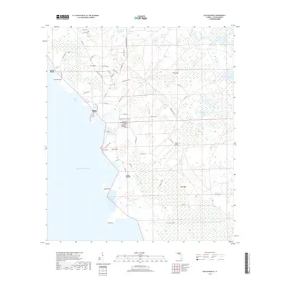
2018 Map of Keaton Beach
USGS Topo · Published 2018About this map
Keaton Beach and Dekle Beach anchor this coastal segment of the Taylor County shoreline, where the low-lying Florida landscape meets the Gulf of Mexico. The area is defined by an intricate network of coastal hydrology, including tidal marshes and numerous named points like Live Oak Point, Sponge Point, and Piney Point. Inland, the terrain is dotted with significant water bodies such as Horse Pond and Rock Pond, alongside expansive wetland features like Minom Sog and Stanley Sog.
Find a feature on this map
68 named features on this map. Tap any name to fly to it.
Don’t see what you’re looking for? This feature index may not catch every label — zoom into the map to look around manually.
Map Details
Editions of this 2018 Keaton Beach Map
This is the sole edition of this map. No revisions or reprints were ever made.
Other maps of this area

1954 · Salem SW
USGS Topo · 1:24,000

1954 · Warrior Swamp
USGS Topo · 1:24,000

1954 · Salem
USGS Topo · 1:24,000

1954 · Steinhatchee
USGS Topo · 1:24,000

1954 · Keaton Beach
USGS Topo · 1:24,000

1954 · Okefenokee Slough
USGS Topo · 1:24,000

1954 · Crooked Point
USGS Topo · 1:24,000

1954 · Gainesville
USGS Topo · 1:250,000

1958 · Gainesville
USGS Topo · 1:250,000

1959 · Gainesville
USGS Topo · 1:250,000