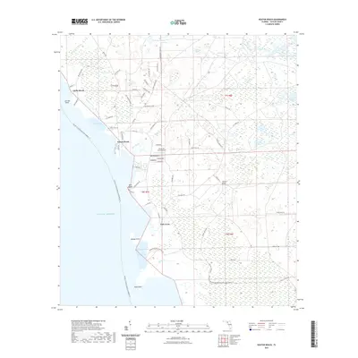
2021 Map of Keaton Beach
USGS Topo · Published 2021About this map
Keaton Beach and Dekle Beach anchor this coastal landscape in Taylor County, where the marshy edges of the Gulf of Mexico meet a network of tidal creeks and coastal hammocks. The area is defined by its low-lying hydrology, featuring distinctive local terrain names like Minom Sog, Coker Sog, and Stanley Sog that indicate the swampy character of the Florida Gulf Coast. Inland, the map reveals a transition to timber and agricultural land, notably marked by Sylvanmir Farms Airport and the crossing at Stanley Bridge.
Find a feature on this map
74 named features on this map. Tap any name to fly to it.
Don’t see what you’re looking for? This feature index may not catch every label — zoom into the map to look around manually.
Map Details
Editions of this 2021 Keaton Beach Map
This is the sole edition of this map. No revisions or reprints were ever made.
Other maps of this area

1954 · Salem SW
USGS Topo · 1:24,000

1954 · Warrior Swamp
USGS Topo · 1:24,000

1954 · Salem
USGS Topo · 1:24,000

1954 · Steinhatchee
USGS Topo · 1:24,000

1954 · Keaton Beach
USGS Topo · 1:24,000

1954 · Okefenokee Slough
USGS Topo · 1:24,000

1954 · Crooked Point
USGS Topo · 1:24,000

1954 · Gainesville
USGS Topo · 1:250,000

1958 · Gainesville
USGS Topo · 1:250,000

1959 · Gainesville
USGS Topo · 1:250,000