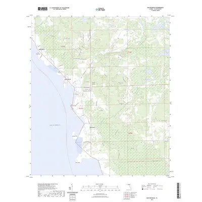
2024 Map of Keaton Beach
USGS Topo · Published 2024About this map
Keaton Beach and Dekle Beach anchor the coastline of the Gulf of Mexico in this recent topographic study of Taylor County. The shoreline is defined by a series of points and coves, including Sponge Point, Piney Point, and the well-known Hagens Cove. Inland, the terrain is dominated by complex wetlands and hydrologic features like Boggy Bay and various "sogs," such as Stanley Sog and Minom Sog.
Find a feature on this map
74 named features on this map. Tap any name to fly to it.
Don’t see what you’re looking for? This feature index may not catch every label — zoom into the map to look around manually.
Map Details
Editions of this 2024 Keaton Beach Map
This is the sole edition of this map. No revisions or reprints were ever made.
Other maps of this area

1954 · Salem SW
USGS Topo · 1:24,000

1954 · Warrior Swamp
USGS Topo · 1:24,000

1954 · Salem
USGS Topo · 1:24,000

1954 · Steinhatchee
USGS Topo · 1:24,000

1954 · Keaton Beach
USGS Topo · 1:24,000

1954 · Okefenokee Slough
USGS Topo · 1:24,000

1954 · Crooked Point
USGS Topo · 1:24,000

1954 · Gainesville
USGS Topo · 1:250,000

1958 · Gainesville
USGS Topo · 1:250,000

1959 · Gainesville
USGS Topo · 1:250,000