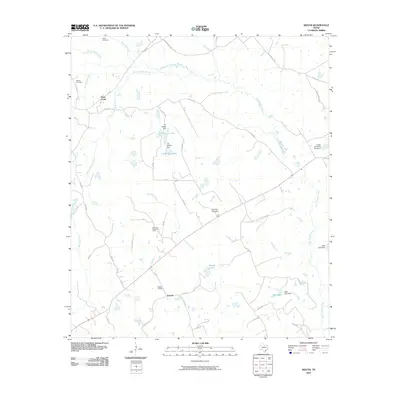
2010 Map of Keechi
USGS Topo · Published 2010About this map
The settlement of Keechi and its surrounding countryside in Freestone County are defined by a network of creeks and small impoundments. The landscape is dominated by the flow of Upper Keechi Creek and its many tributaries, including Alligator Creek and Brook Spring Branch. Land use reflects a mix of traditional agriculture and resource extraction, notably marked by the Oakwood Dome Oil Field.
Find a feature on this map
52 named features on this map. Tap any name to fly to it.
Don’t see what you’re looking for? This feature index may not catch every label — zoom into the map to look around manually.
Map Details
Editions of this 2010 Keechi Map
This is the sole edition of this map. No revisions or reprints were ever made.
Other maps of this area

1919 · Fairfield
USGS Topo · 1:62,500

1953 · Palestine
USGS Topo · 1:250,000

1954 · Waco
USGS Topo · 1:250,000

1955 · Waco
USGS Topo · 1:250,000

1956 · Jewett
USGS Topo · 1:62,500

1957 · Palestine
USGS Topo · 1:250,000

1964 · Long Lake
USGS Topo · 1:24,000

1964 · Oakwood
USGS Topo · 1:24,000

1964 · Flo
USGS Topo · 1:24,000

1964 · Keechi
USGS Topo · 1:24,000